
Beschreibung
Die Wander-, Rad- und Freizeitkarte Schladming Tauern ist ideal für Wanderungen, Radtouren und Ausflüge in der Region. Mit ihr können Sie Ihre Touren perfekt planen und Informationen zu Sehenswürdigkeiten und Aussichtspunkten entlang der Strecke finden.
Für Wintersportbegeisterte bietet die Karte Skipisten, Langlaufloipen sowie alle Lifte und Skilifte.
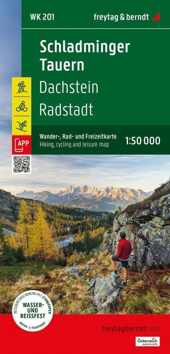
Informationen zur Wander- und Radkarte der Schladming Tauern
Maßstab 1:50.000
Wanderwege und Fernwanderwege
Radwege und Mountainbike-Touren
Skiloipen und Langlaufloipen
Touristeninformation
Rother-App
Wasserdicht und reißfest
Ca. 82 x 68 cm, beidseitig bedruckt
Rother-App
Die kostenlose Version der Rother-App bietet eine digitale Karte mit einem kompletten Netz von Wander- und Radwegen sowie mehreren Beispielrouten in der Region (kostenlose Registrierung erforderlich).
Wasserdicht und reißfest
Um sicherzustellen, dass die Wanderkarte auch an Regentagen zur Navigation verwendet werden kann, wird sie auf speziellem wasserfestem und reißfestem Papier gedruckt.
Ressourcenschonend hergestellt.
Die Karte besteht zu 80 % aus gemahlenem Kalkstein. Die Herstellung ist wesentlich effizienter als...
Für Wintersportbegeisterte bietet die Karte Skipisten, Langlaufloipen sowie alle Lifte und Skilifte.
Informationen zur Wander- und Radkarte der Schladming Tauern
Maßstab 1:50.000
Wanderwege und Fernwanderwege
Radwege und Mountainbike-Touren
Skiloipen und Langlaufloipen
Touristeninformation
Rother-App
Wasserdicht und reißfest
Ca. 82 x 68 cm, beidseitig bedruckt
Rother-App
Die kostenlose Version der Rother-App bietet eine digitale Karte mit einem kompletten Netz von Wander- und Radwegen sowie mehreren Beispielrouten in der Region (kostenlose Registrierung erforderlich).
Wasserdicht und reißfest
Um sicherzustellen, dass die Wanderkarte auch an Regentagen zur Navigation verwendet werden kann, wird sie auf speziellem wasserfestem und reißfestem Papier gedruckt.
Ressourcenschonend hergestellt.
Die Karte besteht zu 80 % aus gemahlenem Kalkstein. Die Herstellung ist wesentlich effizienter als...
Information
Publication date: 1. Mai 2025
Manufacturer: FREYTAG-BERNDT, spol. s ro
Genres: Karten und Reiseführer, Bücher, Reisen
Type: Karten und Atlanten
ISBN/EAN: 9783707924312