
Description
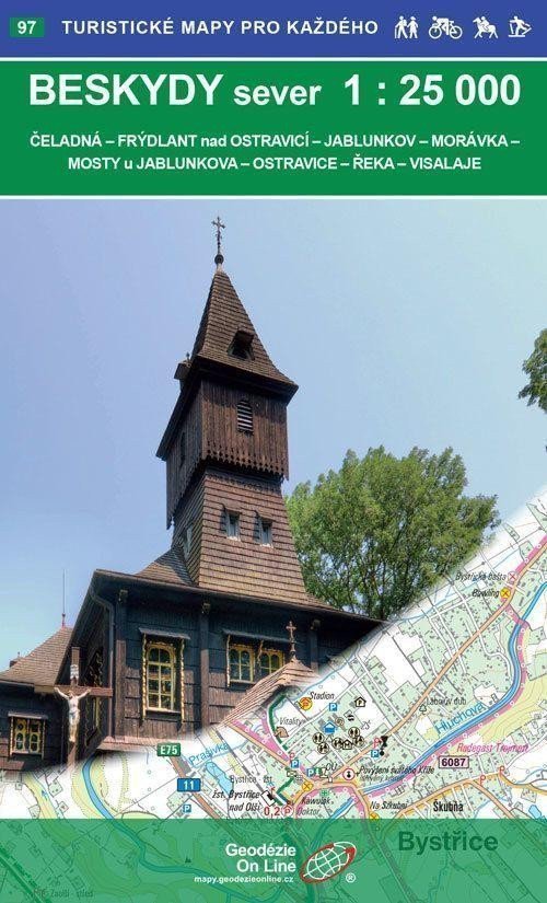
Čeladná - Frýdlant nad Ostravicí - Jablunkov - Morávka - Mosty u Jablunkova - Ostravice - Řeka - Visalaje Tourist and cycling map. Winter tourist supplement. Detailed map at a scale of 1:25,000, 1 cm on the map = 250 m in reality. Published May 2017 General characteristics of maps by Geodézie On Line, spol. s r.o. > The detailed map shows basic topographic and elevation information such as roads, paved and unpaved paths, railways, settlements and their parts including hamlets and isolated houses, water bodies and streams, other areas (e.g. forests, gardens and orchards, vineyards, hop gardens), elevation points, contour lines every 10 m, ... > It includes trail and local tourist markings, tourist signposts, mileage; cycling routes; educational trails; tourist ski routes, downhill slopes, cable cars and lifts (if present in the displayed area); riding trails and of course shows attractive places for tourists - castles and chateaus, lookout towers and viewpoints, ruins and other monuments, museums and galleries, swimming pools, selected restaurants and accommodation facilities,... > The map is supplied folded in a practical plastic cover.
Information
Language: Czech
Publication date: May 1, 2017
Manufacturer: Geodézie On Line
Genres: Tourist maps of the czech republic, Maps and guides, Books, Travel, Tourist maps
Type: Maps & atlases
ISBN/EAN: 9788075060860