
Description
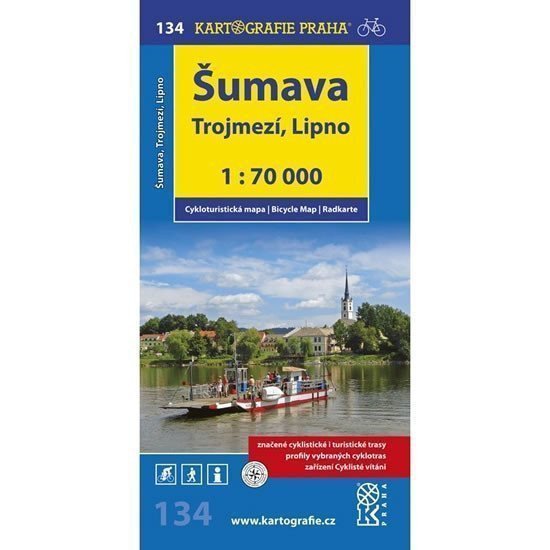
Šumava is one of our most popular cycling tourism areas. The local routes often lead along quiet asphalt roads in the former border zone, connecting to cycling routes in neighboring Germany and Austria, creating a dense network, often with little elevation gain. This map sheet depicts the southeastern part of Šumava, part of Blanský Forest, and adjacent areas of Germany and Austria. Quality terrains for cycling tourism are primarily found in the area of the Tripoint, while Lipno and its surroundings offer a wide network of cycling paths and marked cycling routes. The local routes are suitable for both demanding cyclists and cycling tourists or families with children. The area around Kleť is also a paradise for mountain bikers, interwoven with numerous marked and unmarked roads without motor vehicle traffic – however, the elevation gain on these routes is significant. A clear cycling map at a scale of 1:70,000 with all marked cycling routes, surface resolution of cycling paths, profiles of selected cycling trips, mileage, shops, repair services, and bike rentals, dangerous places, WGS-1984 grid, and cyclist-friendly facilities.
Information
Language: Czech
Publication date: January 1, 2015
Manufacturer: KARTOGRAFIE Praha, a. s.
Genres: Non-fiction literature, Maps and guides, Cycling maps, Maps of the czech republic, Books, Travel, Underground
Type: Maps & atlases
ISBN/EAN: 9788073933517