
Description
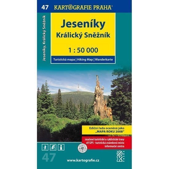
This map covers the eastern part of the Jeseníky Mountains and the Kralický Sněžník massif. It is our second highest mountain range, with the peak of Praděd reaching 1491 m. The map highlights interesting places, including the spa Karlova Studánka and its surroundings, Ramzovské sedlo with nearby peaks Šerák and Keprník, Červenohorské sedlo, Kralický Sněžník, Velké Losiny with its castle and paper mill, and many others worth visiting. Detailed tourist map 1:50,000 complete network of marked hiking trails marked cycling routes monuments, tourist attractions textual section mileage on the map WGS-1984 network information centers Tourist stamp locations map in a transparent cover.
Information
Language: Czech
Publication date: May 1, 2015
Manufacturer: KARTOGRAFIE Praha, a. s.
Genres: Maps and guides, Tourist maps of the czech republic, Tourist maps, Maps of the czech republic, Books, Travel, Underground
Type: Maps & atlases
ISBN/EAN: 9788073933081