
Description
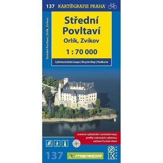
Cycling map no. 137 from the new edition of cycling maps displays the Central Povltaví region at a scale of 1:70,000, including the surroundings of beautiful castles and chateaus such as Orlík and Zvíkov. The back of the map contains not only a geographical glossary but also longitudinal profiles of selected cycling routes. This clearly shows the elevation profiles of the routes. Each profile is supplemented with mileage, a brief description of the route, and warnings about dangerous areas. Clear cycling map 1:70,000 all marked cycling routes surface types of cycling routes profiles of selected cycling trips mileage shops repair shops and bike rentals dangerous areas WGS-1984 network cyclists welcome.
Information
Language: Czech
Publication date: December 1, 2010
Manufacturer: KARTOGRAFIE Praha, a. s.
Genres: Non-fiction literature, Maps and guides, Cycling maps, Maps of the czech republic, Books, Travel, Underground
Type: Maps & atlases
ISBN/EAN: 9788073931322