
Description
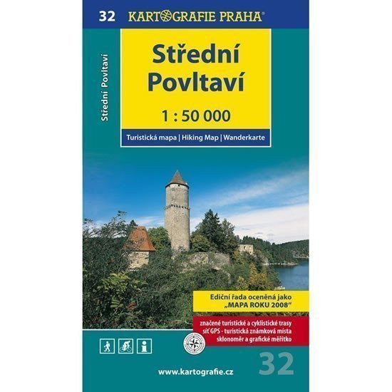
Detailed tourist map at a scale of 1:50,000 (1 cm = 500 meters). The tourist content includes castles, chateaus, ruins, lookout towers, nature reserves, places with distant views, and many other pieces of information. The map also shows a network of marked cycling routes, whose course was verified in the field before the map was published. The map includes a WGS-84 coordinate grid, which will be particularly useful for GPS navigation owners. The back of the map contains a detailed description of interesting places, information about accessibility and contacts, color photographs, a list of information centers, and marked Tourist Badge locations. The map is inserted into a transparent case, and a ruler with an inclinometer is included.
Information
Language: Czech
Publication date: January 1, 2009
Manufacturer: KARTOGRAFIE Praha, a. s.
Genres: Maps and guides, Tourist maps of the czech republic, Tourist maps, Maps of the czech republic, Books, Travel, Underground
Type: Maps & atlases
ISBN/EAN: 9788073931100