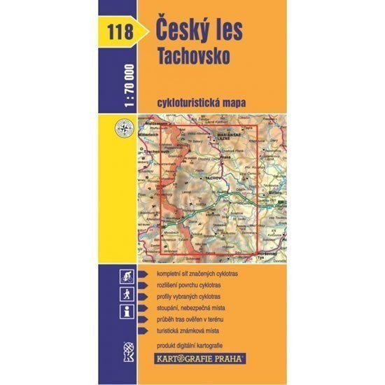

Description
The map shows the territory of the Slavkov Forest, Tepelské Highlands, and Doupov Mountains. The map shows a complete network of marked cycling routes along with the characteristics of the surfaces of individual paths. The routes are described by mileage, and dangerous spots, steep climbs, and sections of asphalt roads with a ban on motor vehicle access are marked. All these elements were verified in the field before the map was published. The back of the map contains, in addition to a geographical glossary, longitudinal profiles of selected cycling routes. The map is enclosed in a transparent case. It includes markings for Tourist Stamp locations.
Information
Language: Czech
Publication date: January 1, 2007
Manufacturer: KARTOGRAFIE Praha, a. s.
Genres: Travel, Cycling maps, Maps of the czech republic, Books, Maps and guides, Underground
Type: Maps & atlases
ISBN/EAN: 9788070119037