
Description
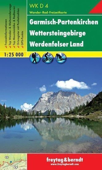
Thanks to detailed digital cartography and precise scales, freytag & berndt tourist maps are ideal companions for hiking, climbing, and skiing tours. The tourist map WKD 4 "Garmisch-Partenkirchen - Wettersteingebirge - Werdenfelser Land 1:25 000" is regularly revised and contains up-to-date information on hiking trails, cycling routes, and mountain biking paths, huts, natural monuments, cultural sites, and leisure facilities. A selection of the best hiking trails, bike paths, and mountain biking routes, along with a brief description of individual municipalities and their leisure activities, informs on the back of the map about the diverse range of activities in the region. (Language: German) Leisure information, hiking and long-distance hiking trails, mountain biking and cycling trips, registration of places with postal codes, GPS compatible, via ferrata, ski route, running route, double-sided; Area: Bavaria, Wetterstein mountains, Zugspitze, Werdenfelser Land, Garmisch-Partenkirchen; Special themed hiking trails: Nordalpenweg, Via Alpina; Special cycling and mountain biking trips: Tirol cycling route for mountain bikes; Environmental maps: WK 322, WK 352, WK 321, WK 241