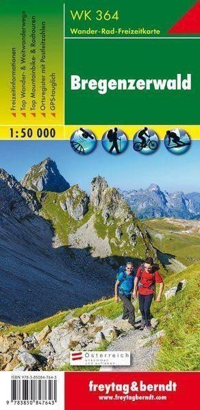

Description
Thanks to detailed digital cartography and precise scales, freytag & berndt hiking maps are ideal companions for hiking, climbing, and skiing tours. The 'Hiking Map Bregenzerwald 1:50 000' is regularly updated and contains current information on hiking trails, cycling paths, and mountain biking routes, huts, natural monuments, cultural sites, and leisure facilities. The accompanying information brochure includes a selection of the best hiking trails, cycling paths, and mountain biking routes, as well as a brief description of individual municipalities and their leisure activities. (Language: German) Leisure information, hiking and long-distance hiking trails, mountain biking and cycling tours, a registry of places with postal codes, GPS compatible, via ferrata, ski routes, cross-country skiing trails, Nordic walking routes; Area: Bregenzerwald, Kleinwalsertal, Großes Walsertal, Vorarlberg, Austria, Allgäu Alps; Special thematic hiking trails: Northern Alpine Trail, Central Alpine Trail, Pre-Alpine Trail, St. James' Way, Via Alpina, family hike to Diedamskopf, circular hiking trail on Hohe Kugel; Special cycling tours and mountain biking routes: Rhine Valley Cycle Path, Bodensee Cycle Path…
Information
Language: German, English, French
Publication date: January 1, 2017
Manufacturer: FREYTAG-BERNDT, spol. s r.o.
Genres: Maps and guides, Books, Travel
Type: Maps & atlases
Pages: 103
ISBN/EAN: 9783850847643