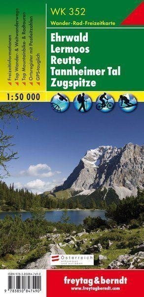

Description
Thanks to detailed digital cartography and precise scales, freytag & berndt hiking maps are ideal companions for hiking, climbing, and skiing tours. The 'Hiking Map 352 Ehrwald - Lermoos - Reutte - Tannheimer Tal - Zugspitze 1:50 000' is regularly updated and contains current information on hiking trails, cycling paths, and mountain biking routes, huts, natural monuments, cultural sites, and leisure facilities. The accompanying information brochure includes a selection of the best hiking trails, cycling paths, and mountain biking routes, as well as a brief description of individual municipalities and their leisure activities. (Language: German) Leisure information, hiking and long-distance hiking trails, mountain biking and cycling tours, a registry of places with postal codes, GPS compatible, via ferrata, ski routes, cross-country skiing trails, Nordic walking routes; Area: Lermooser Moos, Tannheimer Tal, Lech Valley, Ausserfern, Tyrol; Special thematic hiking trails: Jakobsweg, Adlerweg, Via Alpina, Lechweg, Via Claudia Augusta, hike to Eibsee, Hochvogel; Special cycling routes and mountain biking tours: Inn Cycle Path (Inntal Cycle Path), Lechtal Cycle Path, Bike Trial Tirol, Cycle Route…
Information
Language: German, English, French
Publication date: January 1, 2017
Manufacturer: FREYTAG-BERNDT, spol. s r.o.
Genres: Maps and guides, Books, Travel
Type: Maps & atlases
Pages: 47
ISBN/EAN: 9783850847490