
Description
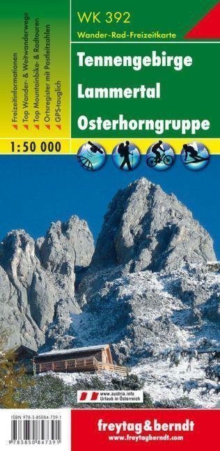
The Freytag & Berndt tourist map "Tennengebirge - Lammertal - Osterhorngruppe 1:50 000" is an ideal companion for hiking due to its detailed digital cartography and precise scale. It is regularly revised and contains updated information on hiking trails, cycling and mountain biking routes, huts, natural monuments, cultural sites, and recreational facilities. The accompanying information brochure includes a selection of the best hiking, cycling, and mountain biking routes along with a brief description of the region. (Language: German) Leisure information, hiking and long-distance hiking trails, mountain biking and cycling routes, registration of places with postal codes, GPS compatible, via ferrata, ski trails, cross-country skiing trails, Nordic walking routes; Area: Tennengebirge, Osterhorn Group, Tennengau, Salzkammergut, Salzburg, Upper Austria, Austria, Berchtesgadenerland, Bavaria, Germany; Special thematic hiking trails: Arnoweg, Austrian long-distance hiking trail 01 "Nordalpenweg", Via Alpina, Salzburger Almenweg, Leonhardsweg, St. Rupert's pilgrimage trail, Book Trail, Salzalpensteig, Salzkammergut Berge Seen Trail, Untersber - Fa Salzburger Hochthron, Fa Salzburger Hochthron, from St. Gilgen to...
Information
Language: German, English, French
Publication date: January 1, 2019
Manufacturer: FREYTAG-BERNDT, spol. s r.o.
Genres: Maps and guides, Books, Travel
Type: Maps & atlases
Pages: 2
ISBN/EAN: 9783850847391