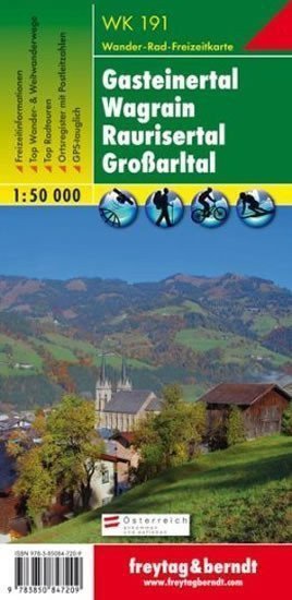

Description
Thanks to detailed digital cartography and precise scales, the freytag & berndt tourist maps are ideal companions for hiking, climbing, and skiing tours. They are regularly revised and contain updated information on hiking trails, cycling and mountain biking routes, huts, natural monuments, cultural sites, and leisure facilities. The accompanying information brochure includes a selection of the best hiking trails, cycle paths, and mountain biking routes, as well as a brief description of individual municipalities and their leisure activities. (Language: German) Leisure information, hiking and long-distance hiking trails, mountain biking and cycling tours, registry of places with postal codes, GPS compatible, via ferrata, ski trail, cross-country skiing trail, Nordic walking trail, double-sided; Area: Pongau, St. Johann im Pongau, Hohe Tauern, Lower Tauern; Special thematic hiking trails: St. Rupert's Pilgrimage Trail, Salzburg Almenweg, Via Alpina, Arnoweg, Königsweg, Pinzgauer Marienweg, through Kötschachtal, Schwarzenbacher Almenwandern, Hochkönig-Blick-Weg, Hochkeilrundweg, 2-day hike to Niedersachsenhaus; Special cycling and mountain biking tours: Tauern Cycle Path, Enns Cycle Path, Gasteinertal...
Information
Language: German, English, French
Publication date: January 1, 2017
Manufacturer: FREYTAG-BERNDT, spol. s r.o.
Genres: Underground, Books, Travel, Maps and guides
Type: Maps & atlases
ISBN/EAN: 9783850847209