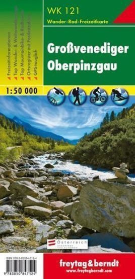

Description
Thanks to detailed digital cartography and precise scales, freytag & berndt tourist maps are ideal companions for hiking, climbing, and ski tours. They are regularly revised and contain updated information on hiking trails, cycling and mountain biking routes, huts, natural monuments, cultural sites, and leisure facilities. The accompanying information brochure includes a selection of the best hiking trails, cycle paths, and mountain bike routes, as well as a brief description of individual municipalities and their leisure activities. (Language: German) Details: leisure information, hiking and long-distance hiking trails, mountain biking and cycling routes, postal code location registry, GPS compatible, via ferrata, ski trail, cross-country skiing trail, Nordic walking trail. Area: Großvenediger, Oberpinzgau, Venetian Group, Hohe Tauern, National Park Hohe Tauern, East Tyrol, Lienz district, Salzburg; Special thematic hiking trails: Central Alpine Trail, KAT-Kitzbüheler Alpen Trail, Arnoweg, Adlerweg, Pinzgauer Marienweg. Special cycling and mountain tours: Tauernradweg, Salzachalm, Edelweißhütte; Environmental maps: WK 120, WK 123, WK 151, WK 152, WK 301, WK 321
Information
Language: German, English, French
Publication date: January 1, 2019
Manufacturer: FREYTAG-BERNDT, spol. s r.o.
Genres: Underground, Books, Travel, Maps and guides
Type: Maps & atlases
ISBN/EAN: 9783850847124