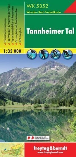

Description
Thanks to detailed digital cartography and precise scales, freytag & berndt hiking maps are ideal companions for hiking, mountaineering, and skiing tours. They are regularly revised and contain updated information on hiking trails, cycling and mountain biking routes, huts, natural monuments, cultural sites, and leisure facilities. A selection of the best hiking and long-distance trails, bike paths, and mountain bike routes, along with a brief description of individual municipalities, informs on the back of the map about the wide range of activities in the region. (Language: German) Leisure information, hiking and long-distance trails, mountain biking and cycling tours, a register of places with postal codes, GPS compatible, via ferrata, ski route, cross-country skiing route, Nordic walking route; Area: Tannheim Valley, Tannheim Mountains, Lech Valley, Tiroler Lech Nature Park, Ausserfern, Tyrol, Bavaria, Germany; Special themed hiking trails: European long-distance hiking trail No. 4, Via Alpina, Lechweg, Bavarian royal palaces; Special cycling and mountain tours: Via Claudia Augusta, Tirol Cycle Path, Lechradweg (Lechtalradweg), Almtour, Vilser Alm; Environmental maps: WK 322, WK 351, WK...
Information
Language: German, English, French
Publication date: January 1, 2013
Manufacturer: FREYTAG-BERNDT, spol. s r.o.
Genres: Maps and guides, Books, Travel
Type: Maps & atlases
Pages: 2
ISBN/EAN: 9783707914757