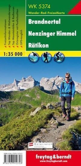

Description
Thanks to detailed digital cartography and precise scales, freytag & berndt hiking maps are ideal companions for hiking, mountaineering, and ski tours. They are regularly revised and contain updated information on hiking trails, cycling and mountain biking routes, huts, natural monuments, cultural landmarks, and recreational facilities. The accompanying information brochure includes a selection of the best hiking trails, bike paths, and mountain biking routes, as well as a brief description of the municipalities and their leisure activities. (Language: German) Leisure information, hiking and long-distance trails, mountain biking and cycling tours, a register of places with postal codes, GPS compatible, via ferrata, ski route, cross-country skiing route; Area: Brandnertal, Nenzinger Himmel, Rätikon, Montafon, Lechtal Alps; Special themed hiking trails: Central Alpine Trail, Camino de Santiago, Via Alpina, Zimbajoch circular hike, Golmi research trail, around Lünersee, two-day hike to Schesaplana; Special cycling and mountain biking tours: Waldgaus cycling path, Klostertal cycling path, Illad trail; Environmental maps: WK 364, WK 374, WK 375, WK 5504
Information
Language: German, English, French
Publication date: January 1, 2019
Manufacturer: FREYTAG-BERNDT, spol. s r.o.
Genres: Maps and guides, Books, Travel
Type: Maps & atlases
Pages: 2
ISBN/EAN: 9783707912753