
Beschreibung
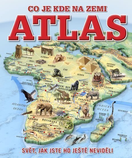
Der erste Kinderatlas, der unsere Welt in 3D präsentiert. Dank über 60 speziell angefertigter 3D-Karten und Illustrationen lernen junge Leser alle Kontinente der Erde kennen. Die Einleitung bietet zudem eine visuelle Erklärung seiner Entstehung. Jeder Kontinent wird von 3D-Karten begleitet, die seine geografischen Merkmale, sein Klima, Städte, Sehenswürdigkeiten, Bevölkerung und Tierwelt analysieren und zusätzliche Informationen liefern. Ergänzt wird das Ganze durch verständliche Legenden und viele interessante Fakten. Ein Glossar mit Erklärungen und eine Liste der Länder der Welt mit Kurzbeschreibungen runden das Angebot ab.
Information
Language: Czech
Publication date: 29. November 2017
Manufacturer: Nakladatelství SLOVART sro
Genres: Karten und Reiseführer, Schulatlanten und Karten, Bücher, Reisen, Lehrbücher und Sprachen, Kinderliteratur, Populärwissenschaftliche Literatur für Kinder
Type: Gebundene Bücher
Pages: 160
ISBN/EAN: 9788075294760