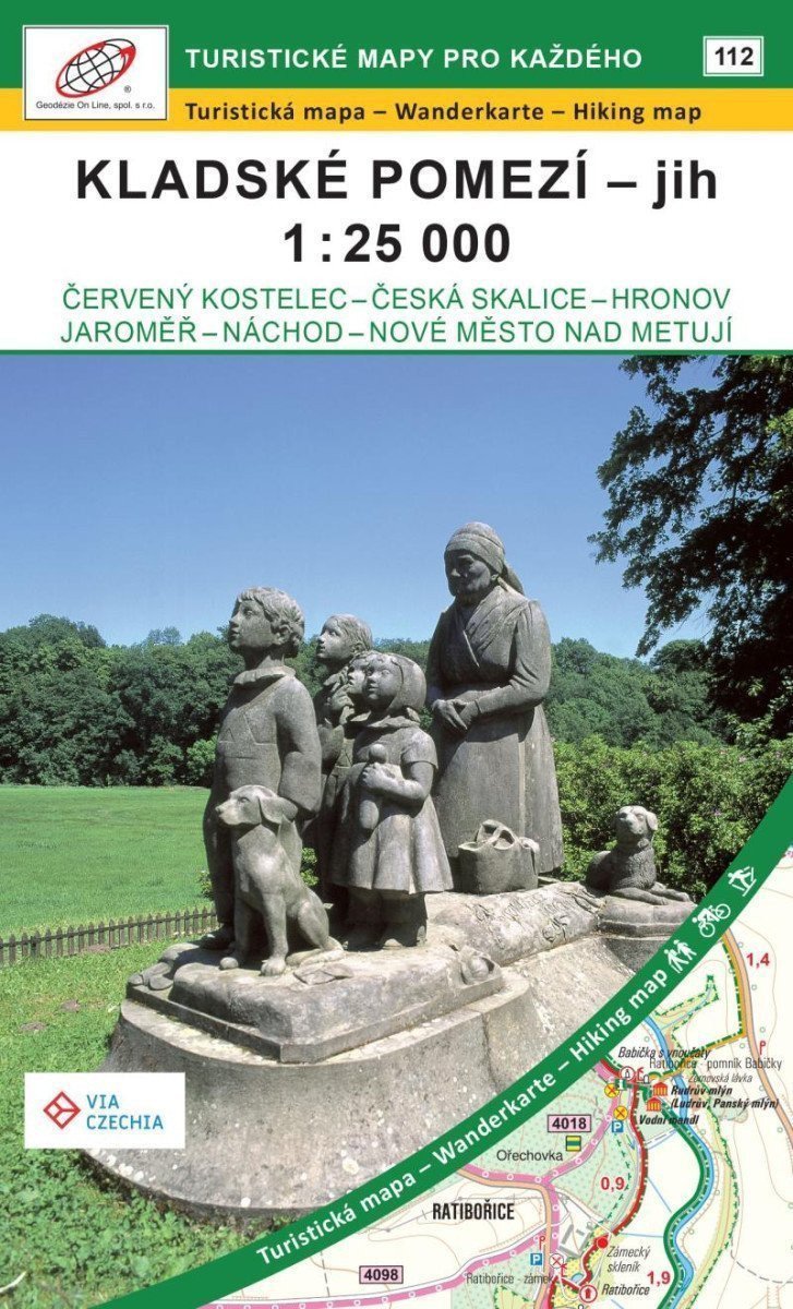

Beschreibung
Eine detaillierte doppelseitige Touristen-, Rad- und Skikarte mit einem WGS 84-Koordinatengitter, die die Fernroute VIA CZECHIA - Northern Trail markiert. 1 cm auf der Karte = 250 m in der Realität. Die Karte zeigt Orte und Städte wie Babiččino údolí, Červený Kostelec, Česká Skalice, Dobruška, Dvůr Králové nad Labem, Hronov, Lázně Velichovky, Jaroměř, Josefov, Kudowa Zdrój, Náchod, Nové Město nad Metují und den Stausee Rozkoš.
Information
Language: Czech
Publication date: 29. Juli 2024
Manufacturer: Geodézie On Line
Genres: Karten und Reiseführer, Bücher, Reisen
Type: Karten und Atlanten
ISBN/EAN: 9788075061720