
Beschreibung
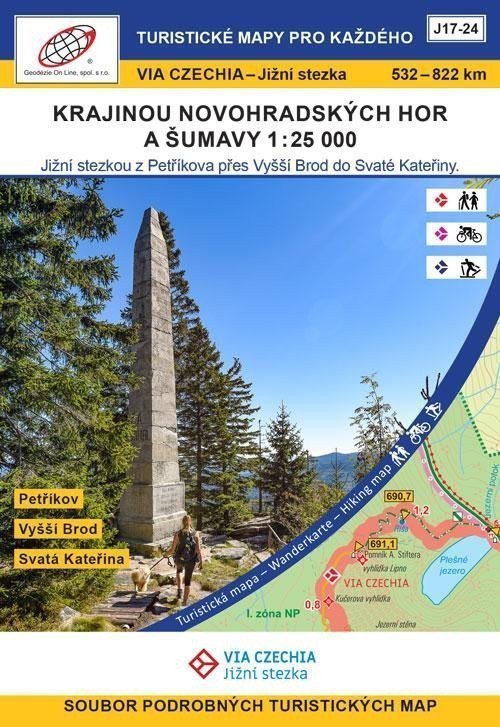
Petříkov - Hojná Voda - Baronův Most - Dolní Dvořiště - Vyšší Brod - Svatý Tomáš - Nová Pec, Láz - Nové Údolí - Bučina - Modrava - Prášily - Špičácké sedlo - Svatá Kateřina Ein Satz von 8 doppelseitigen Touristenkarten (A2-Format). Die Karten zeigen die Route VIA CZECHIA - Southern Trail zwischen dem 532. und 822. Kilometer des Weges (Wandervariante). Es gibt auch eine Variante für Radfahrer und Skifahrer. Die Karten werden in einer Papierbox aufbewahrt. ***** Der Südweg – die zweitlängste Route der Via Czechia, verbindet die östlichsten und westlichsten Punkte der Tschechischen Republik und verläuft hauptsächlich entlang der Südgrenze. Die klassische Wanderroute des Südlichen Fernwanderwegs ist 1052 km lang und in 44 Tagesetappen mit einer durchschnittlichen Länge von 20–25 km unterteilt. Übernachtungsmöglichkeiten in Unterkünften sind stets vorhanden. Der Südliche Fernwanderweg eignet sich auch hervorragend zum Radfahren; die Radroute umfasst insgesamt 1080 km und kann in 2–3 Wochen bewältigt werden. Ein Großteil der Strecke lässt sich mit Skiern erkunden, insgesamt stehen 319 km Loipen zur Verfügung, die größtenteils maschinell präpariert sind.
Information
Language: Czech
Publication date: 10. Mai 2024
Manufacturer: Geodézie On Line
Type: Karten und Atlanten
ISBN/EAN: 9788075061645