
Beschreibung
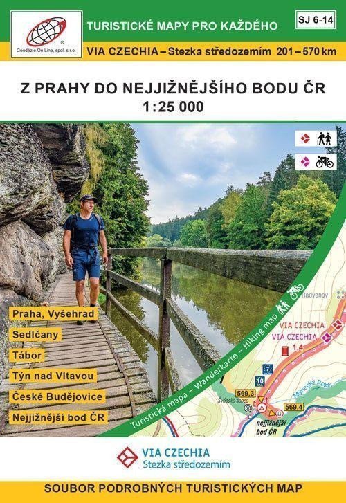
Weg durch das Mittelmeer, Abschnitte der Unteren Moldau, der Mittleren Moldau, Toulava, Lužnice-Tal, Region České Budějovice, Region Český Krumlov 201–570 km Roztoky – Prag, Vyšehrad – Vrané nad Vltavou – Rabyně – Hrazany – Sedlčany – Sedlec – Borotín – Tábor – Dobronice in der Nähe Bechyně - Bechyně - Týn nad Vltavou - Hluboká nad Vltavou - České Budějovice - Krasetín - Český Krumlov - Rožmberk nad Vltavou - südlichster Punkt der Tschechischen Republik. Der Weg verbindet den nördlichsten und südlichsten Punkt Tschechiens, durchquert vier Landschaftsschutzgebiete und 24 Pilgerstätten und führt zu vielen malerischen Städten wie Prag, Mělník, Tábor und Český Krumlov. Ein Set mit neun doppelseitigen Touristenkarten (Format A2). Die Karten werden in einer Pappschachtel aufbewahrt. Kartenformat: A2, gedruckt auf Standardpapier, Karten gefaltet: ca. 9,9 x 14,5 cm, Schachtel: ca. 11 x 16 x 4 cm, 1. Auflage 2022, 9/2022. Inhalt: Karten, Legende. SJ 6 Untere und Mittlere Moldau 1?:?25.000 Řež – Roztoky – Vyšehrad – Zbraslav SJ 7 Mittlere Moldau 1?:?25.000 Komořany – Zbraslav – Vrané nad Vltavou – Davle – Petrov – Třebsín – Teletín – Rabyně – Blažim SJ 8 Mittlere Moldau, Toulava 1?:?25.000 Blažim – Hrazany – Sedlčany – Počepice SJ 9 Toulava 1?:?25.000 Veselíčko – Ředičky –...
Information
Language: Czech
Publication date: 28. September 2022
Manufacturer: Geodézie On Line
Genres: Karten der Tschechischen Republik, Karten und Reiseführer, Bücher, Reisen, U-Bahn
Type: Karten und Atlanten
ISBN/EAN: 9788075061614