
Beschreibung
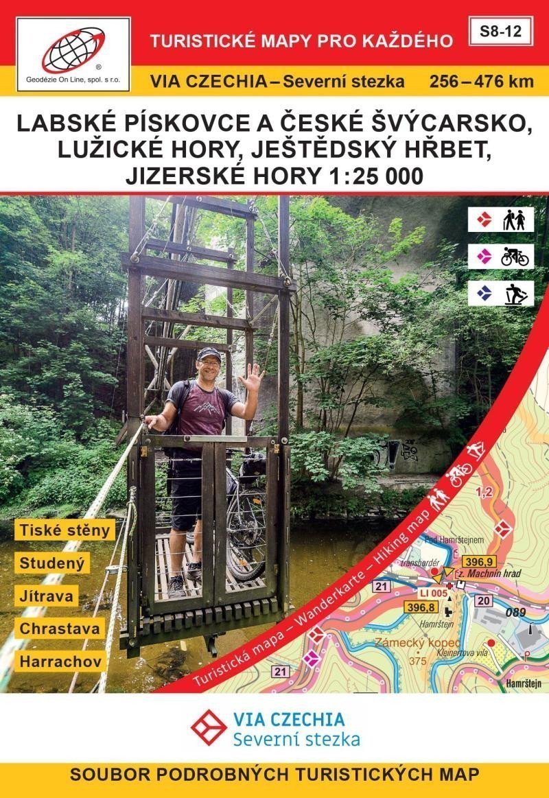
Ein Set aus 5 doppelseitigen Touristenkarten im Maßstab 1:25.000, die den Nordweg und seine Umgebung von den Elbsandsteinen bis zum Isergebirge darstellen. – Die Karten werden in einer Pappschachtel aufbewahrt. – Format A2, Kartengröße gefaltet: ca. 9,9 x 14,5 cm, Schachtel: ca. 11 x 16 x 4 cm - Im Paket enthalten: Karten, Legende S8 Elbsandsteine und Böhmische Schweiz, 256-313 km Tiské stěny - Děčín - Hřensko - Mezní Louka S9 Elbsandsteine und Böhmische Schweiz, Lužické hory, 312-347 km Mezní Louka - Jetřichovice - Studený - Jedlová, Zug Station S10 Lužické hory, 340-384 km Jedlová, Bahnhof - Tolštejn - Luž - Hvozd - Petrovice - Vraní skály - Bílé kameny - Jítrava S11 Ještěd-Kamm und Isergebirge, 380-427 km Jítrava - Kryštofovo Údolí - Chrastava - Hejnice S12 Isergebirge, 422-476 km Hejnice – Holubník – Smědava – Jizerka – Kořenov – Hvězda – Harrachov
Information
Author: Hocek Jan
Language: Czech
Manufacturer: Geodézie On Line
Genres: Touristenkarten der Tschechischen Republik, Touristenkarten, Bücher, Reisen, Karten und Reiseführer
Type: Karten und Atlanten
ISBN/EAN: 9788075061553