
Beschreibung
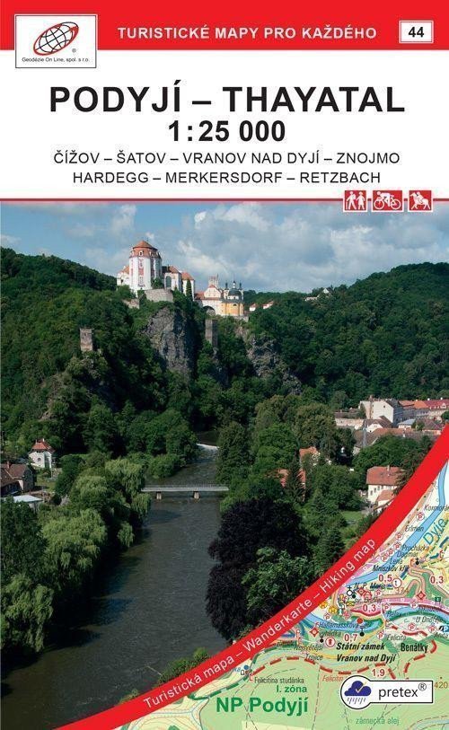
Podyjí - Thayatal 1:25 000 (2021, GOL_44, 7. Auflage) Detailkarte im Maßstab 1:25 000, 1 cm auf der Karte = 250 m in der Realität. Vorderseite: Detailkarte der Nationalparks, Stadtplan von Znojmo (Zentrum). Rückseite: Texte (CZ, GB, D) und Fotos. Verwendetes Papier: pretex® – Material aus ausgewählter Zellulose und synthetischen Fasern (Polyamid und Polyester). Eine spezielle Imprägnierung verleiht dem Papier Festigkeit. Ideal für Anwendungen, bei denen normales Papier nicht ausreicht, z. B. bei Feuchtigkeit, unter hoher Belastung usw. Allgemeine Merkmale der Karten von Geodézie On Line, spol. Die detaillierte Karte zeigt grundlegende topografische und Höheninformationen wie Straßen, befestigte und unbefestigte Wege, Eisenbahnlinien, Siedlungen und deren Bestandteile einschließlich Dörfer und Weiler, Gewässer und Bäche, andere Gebiete (z. B. Wälder, Gärten und Obstplantagen, Weinberge, Hopfengärten), Höhenpunkte, Höhenlinien alle 10 m usw. Sie enthält außerdem touristische Markierungen, Wegweiser, Kilometerangaben, Radwege, Lehrpfade, Skipisten, Abfahrten, Seilbahnen und Lifte (sofern im dargestellten Gebiet vorhanden), Reitwege und natürlich touristische Attraktionen wie Burgen und Schlösser, Aussichtstürme und -punkte, Ruinen und andere Denkmäler, Museen usw.
Information
Language: Czech
Publication date: 1. Juli 2021
Manufacturer: Geodézie On Line
Genres: Karten der Tschechischen Republik, Sachliteratur, Touristenkarten der Tschechischen Republik, Bücher, Reisen, Karten und Reiseführer, U-Bahn, Touristenkarten
Type: Karten und Atlanten
ISBN/EAN: 9788075061522