
Beschreibung
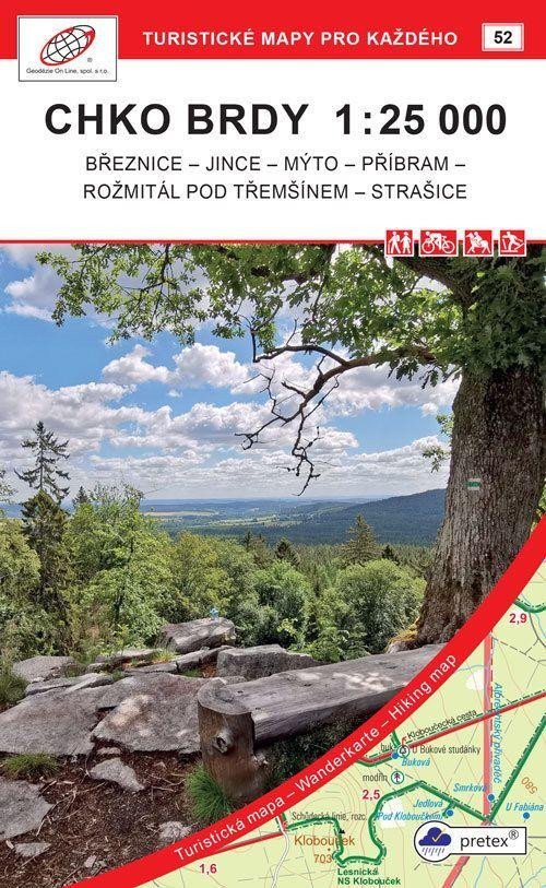
Strašicko und Rožmitálsko: Březnice - Jince - Mýto - Příbram - Rožmitál pod Třemšínem - Strašice. Detailkarte im Maßstab 1:25.000, 1 cm auf der Karte = 250 m in der Realität. 4. Auflage, August 2021. Allgemeine Merkmale der Karten von Geodézie On Line, spol. s ro > Die detaillierte Karte zeigt grundlegende topografische und Höheninformationen wie Straßen, befestigte und unbefestigte Wege, Eisenbahnlinien, Siedlungen und deren Teile einschließlich Weiler und Einzelhäuser, Gewässer und Bäche, andere Gebiete (z. B. Wälder, Gärten und Obstgärten, Weinberge, Hopfengärten), Höhenpunkte, Höhenlinien alle 10 m, ... > Sie enthält Weg- und lokale touristische Markierungen, touristische Wegweiser, Kilometerangaben; Radwege; Lehrpfade; Touristische Skipisten, Abfahrten, Seilbahnen und Lifte (sofern im dargestellten Gebiet); Reitwege und natürlich attraktive Orte für Touristen – Schlösser und Burgen, Aussichtstürme und Aussichtspunkte, Ruinen und andere Denkmäler, Museen und Galerien, Schwimmbäder, ausgewählte Restaurants und Unterkünfte… > Die Karte wird gefaltet in einer praktischen Plastikhülle geliefert.
Information
Language: Czech
Publication date: 1. August 2021
Manufacturer: Geodézie On Line
Genres: Karten der Tschechischen Republik, Sachliteratur, Touristenkarten der Tschechischen Republik, Bücher, Reisen, Karten und Reiseführer, U-Bahn, Touristenkarten
Type: Karten und Atlanten
ISBN/EAN: 9788075061508