
Beschreibung
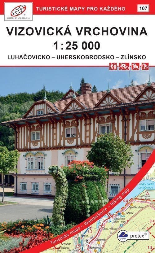
Doppelseitige Touristen-, Rad- und Skikarte Luhačovicko - Uherskobrodsko - Zlínsko 1:25.000, 1. Auflage, pretex, Mai 2021, Koordinatensystem WGS 84. Verwendetes Papier: pretex® – ein Material aus ausgewählten Zellulose- und Kunstfasern (Polyamid und Polyester). Eine spezielle Imprägnierung verleiht dem Papier Festigkeit. Ideal für Anwendungen, bei denen normales Papier nicht ausreicht, z. B. bei Feuchtigkeit oder hoher Belastung. Detaillierte Karte im Maßstab 1:25.000, 1 cm auf der Karte = 250 m in der Realität. Koordinatensystem: WGS 84. Koordinatengitter: Geografische Koordinaten, Minutenraster. Seite 1: Karte, Seite 2: Karte. Kartenblattgröße: 99,6 x 69,6 cm. Größe der gefalteten Karte: ca. 18 x 11 cm Einband: ohne Einband > Die detaillierte Karte zeigt grundlegende Positions- und Höheninformationen wie Straßen, befestigte und unbefestigte Wege, Eisenbahnlinien, Siedlungen und deren Teile einschließlich Weiler und Einzelhäuser, Gewässer und Bäche, andere Gebiete (z. B. Wälder, Gärten und Obstgärten, Weinberge, Hopfengärten), Höhenpunkte, Höhenlinien alle 10 m, ... > Enthält touristische Markierungen, Wegweiser, Kilometerangaben; Radwege; Lehrpfade; Skirouten, Abfahrtspisten, Seilbahnen und Lifte (sofern im dargestellten Gebiet vorhanden);…
Information
Language: Czech
Publication date: 1. Mai 2021
Manufacturer: Geodézie On Line
Genres: Karten der Tschechischen Republik, Touristenkarten, Touristenkarten der Tschechischen Republik, Bücher, Reisen, Karten und Reiseführer, U-Bahn
Type: Karten und Atlanten
ISBN/EAN: 9788075061430