
Beschreibung
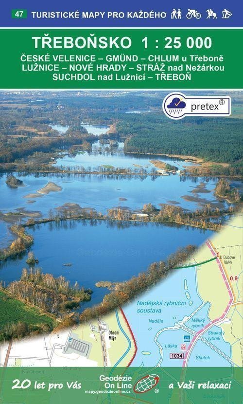
České Velenice - Gmünd - Chlum u Třeboně - Lužnice - Nové Hrady - Stráž nad Nežárkou - Suchdol nad Lužnicí - Třeboň Touristen- und Radkarte 1:25 000, 3. Auflage, September 2020, Koordinatensystem WGS 84, Spezial-Pretex-Papier Allgemeine Merkmale der Karten von Geodézie On Line, spol. s ro > Die detaillierte Karte zeigt grundlegende topografische und Höheninformationen wie Straßen, befestigte und unbefestigte Wege, Eisenbahnlinien, Siedlungen und deren Teile einschließlich Dörfer und Weiler, Gewässer und Bäche, andere Gebiete (z. B. Wälder, Gärten und Obstgärten, Weinberge, Hopfengärten), Höhenpunkte, Höhenlinien alle 10 m, ... > Sie enthält touristische Markierungen, Wegweiser, Kilometerangaben, Radwege und Lehrpfade; Touristische Skipisten, Abfahrten, Seilbahnen und Lifte (sofern im dargestellten Gebiet vorhanden); Reitwege und natürlich attraktive Orte für Touristen – Schlösser und Burgen, Aussichtstürme und Aussichtspunkte, Ruinen und andere Denkmäler, Museen und Galerien, Schwimmbäder, ausgewählte Restaurants und Unterkünfte,... > Die Karte wird gefaltet in einer praktischen Plastikhülle geliefert.
Information
Language: Czech
Publication date: 1. September 2020
Manufacturer: Geodézie On Line
Genres: Touristenkarten der Tschechischen Republik, Sachliteratur, Bücher, Reisen, Karten und Reiseführer, Touristenkarten
Type: Karten und Atlanten
ISBN/EAN: 9788075061393