
Beschreibung
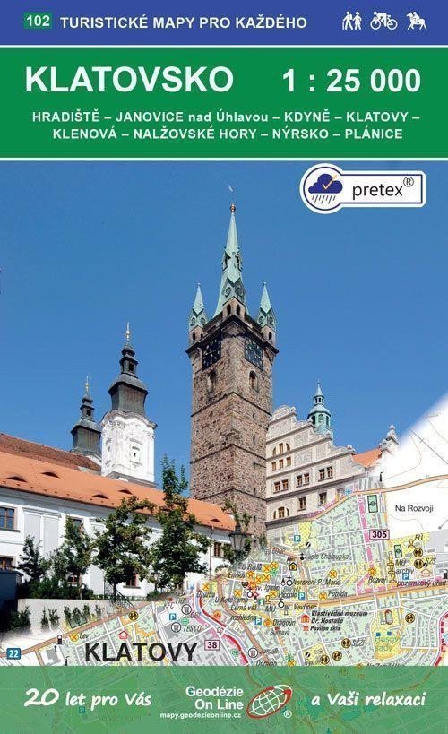
Hradiště - Janovice nad Úhlavou - Kdyně - Klatovy - Klenová - Nalžovské Hory - Nýrsko - Plánice. Touristen- und Radkarte 1:25.000, 1. Auflage, September 2020, Koordinatensystem WGS 84, Spezialpapier pretex® – ein Material aus ausgewählter Zellulose und synthetischen Fasern (Polyamid und Polyester). Eine spezielle Imprägnierung verleiht dem Papier Festigkeit. Ideal für Anwendungen, bei denen normales Papier nicht ausreicht, z. B. bei Feuchtigkeit oder hoher Belastung. Detaillierte Karte im Maßstab 1:25.000, 1 cm auf der Karte = 250 m in der Realität. Seite 1: Karte, Seite 2: Kartenlegende: Tschechisch, Deutsch, Englisch. Kartenblattgröße: 99,6 x 69,6 cm. Größe der gefalteten Karte: ca. 18 x 11 cm. Einband: Kunststoff. Allgemeine Karteneigenschaften von Geodézie On Line, spol. Die detaillierte Karte zeigt grundlegende topografische und Höheninformationen wie Straßen, befestigte und unbefestigte Wege, Eisenbahnlinien, Siedlungen und deren Bestandteile einschließlich Weiler und Einzelhäuser, Gewässer und Bäche, andere Gebiete (z. B. Wälder, Gärten und Obstplantagen, Weinberge, Hopfengärten), Höhenpunkte, Höhenlinien alle 10 m usw. Sie enthält außerdem touristische Markierungen, Wegweiser, Kilometerangaben, Radwege, Lehrpfade, Skirouten usw.
Information
Language: Czech
Publication date: 1. September 2020
Manufacturer: Geodézie On Line
Genres: Touristenkarten der Tschechischen Republik, Sachliteratur, Bücher, Reisen, Karten und Reiseführer, Touristenkarten
Type: Karten und Atlanten
ISBN/EAN: 9788075061379