
Beschreibung
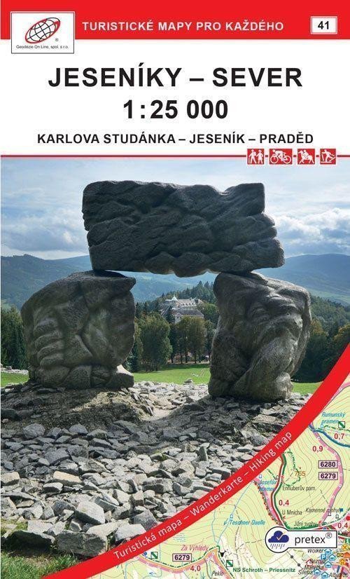
Karlova Studánka – Jeseník – Praděd Doppelseitige Touristen-, Rad- und Skikarte 1:25.000, Koordinatensystem WGS 84 > Die detaillierte Karte zeigt grundlegende topografische und Höheninformationen wie Straßen, befestigte und unbefestigte Wege, Eisenbahnlinien, Siedlungen und deren Teile einschließlich Weiler und Einzelhäuser, Gewässer und Bäche, weitere Gebiete (z. B. Wälder, Gärten und Obstplantagen, Weinberge, Hopfengärten), Höhenpunkte, Höhenlinien alle 10 m usw. > Sie enthält Wegmarkierungen und lokale touristische Hinweise, Kilometerangaben; Radwege; Lehrpfade; Skirouten, Abfahrten, Seilbahnen und Lifte (sofern im dargestellten Gebiet vorhanden); Reitwege und natürlich attraktive Orte für Touristen – Schlösser und Burgen, Aussichtstürme und Aussichtspunkte, Ruinen und andere Denkmäler, Museen und Galerien, Schwimmbäder, ausgewählte Restaurants und Unterkünfte usw. > Die Karte wird gefaltet geliefert. Verwendetes Papier: pretex® – ein Material aus ausgewählter Zellulose und synthetischen Fasern (Polyamid und Polyester). Eine spezielle Imprägnierung verleiht dem Papier Festigkeit. Ideal für Anwendungen, bei denen herkömmliches Papier nicht ausreicht, beispielsweise bei Feuchtigkeit, unter hoher Belastung usw.
Information
Language: Czech
Publication date: 1. Mai 2021
Manufacturer: Geodézie On Line
Genres: Karten der Tschechischen Republik, Touristenkarten, Touristenkarten der Tschechischen Republik, Bücher, Reisen, Karten und Reiseführer, U-Bahn
Type: Karten und Atlanten
ISBN/EAN: 9788075061324