
Beschreibung
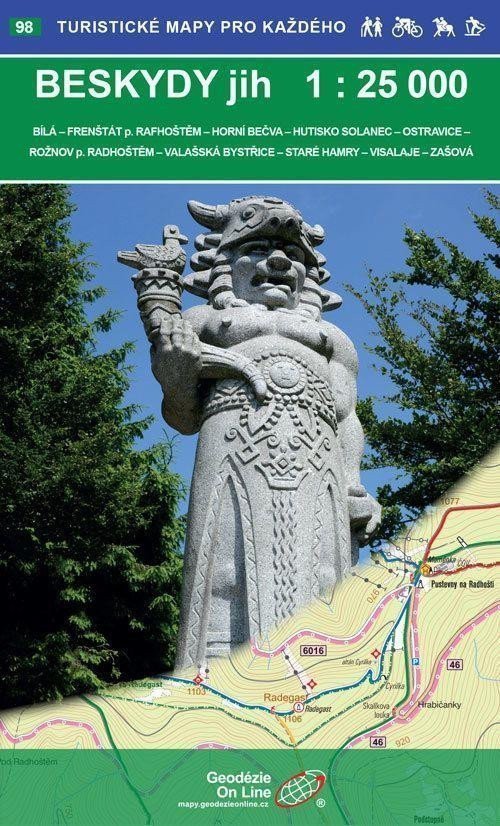
Bílá - Frenštát pod Radhoštěm - Horní Bečva - Hutisko-Solanec - Ostravice - Rožnov pod Radhoštěm - Valašská Bystřice - Staré Hamry - Visalaje - Zášová. Doppelseitige Touristen- und Fahrradkarte. Wintertouristische Erweiterung. Detaillierte Karte im Maßstab 1:25.000, 1 cm auf der Karte = 250 m in der Realität. Veröffentlicht im Mai 2017. Allgemeine Eigenschaften der Karten von Geodézie On Line, spol. Die detaillierte Karte zeigt grundlegende topografische und Höheninformationen wie Straßen, befestigte und unbefestigte Wege, Eisenbahnlinien, Siedlungen und deren Teile einschließlich Weiler und Einzelhäuser, Gewässer und Bäche, andere Gebiete (z. B. Wälder, Gärten und Obstplantagen, Weinberge, Hopfenfelder), Höhenpunkte, Höhenlinien alle 10 m usw. Sie enthält Wegmarkierungen und lokale touristische Hinweise, Wegweiser, Kilometerangaben, Radwege, Lehrpfade, Skirouten, Abfahrten, Seilbahnen und Lifte (sofern im dargestellten Gebiet vorhanden), Reitwege und natürlich attraktive Orte für Touristen – Schlösser und Burgen, Aussichtstürme und Aussichtspunkte, Ruinen und andere Denkmäler, Museen und Galerien, Schwimmbäder, ausgewählte Restaurants und Unterkünfte usw. Die Karte wird gefaltet in einer praktischen Plastikhülle geliefert.
Information
Language: Czech
Publication date: 1. Mai 2017
Manufacturer: Geodézie On Line
Genres: Touristenkarten der Tschechischen Republik, Karten und Reiseführer, Bücher, Reisen, Touristenkarten
Type: Karten und Atlanten
ISBN/EAN: 9788075060877