
Beschreibung
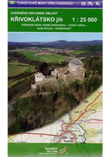
Landschaftsschutzgebiet Křivoklátsko Süd: Naturpark Oberes Berounka – Český kras – Karlštejn – Koněprusy: Touristen- und Radkarte. Karten 1:25.000 von Geodezie On-Line. Die detaillierte Karte zeigt grundlegende topografische und Höheninformationen wie Straßen, befestigte und unbefestigte Wege, Eisenbahnlinien, Siedlungen und deren Teile einschließlich Weiler und Einzelhäuser, Gewässer und Bäche, weitere Gebiete (z. B. Wälder, Gärten und Obstplantagen, Weinberge, Hopfengärten), Höhenpunkte, Höhenlinien alle 10 m usw. Die Karte enthält außerdem Wegmarkierungen und lokale touristische Hinweise, Kilometerangaben, Radrouten, Lehrpfade, Skirouten, Abfahrten, Seilbahnen und Lifte, Reitwege und natürlich attraktive Orte für Touristen – Schlösser und Burgen, Aussichtstürme und Aussichtspunkte, Ruinen und andere Denkmäler, Museen und Galerien, Schwimmbäder, ausgewählte Restaurants und Unterkünfte usw.
Information
Language: Czech
Manufacturer: Geodézie On Line
Genres: Karten der Tschechischen Republik, Touristenkarten, Bücher, Reisen, Karten und Reiseführer, U-Bahn
Type: Karten und Atlanten
ISBN/EAN: 9788075060730