
Beschreibung
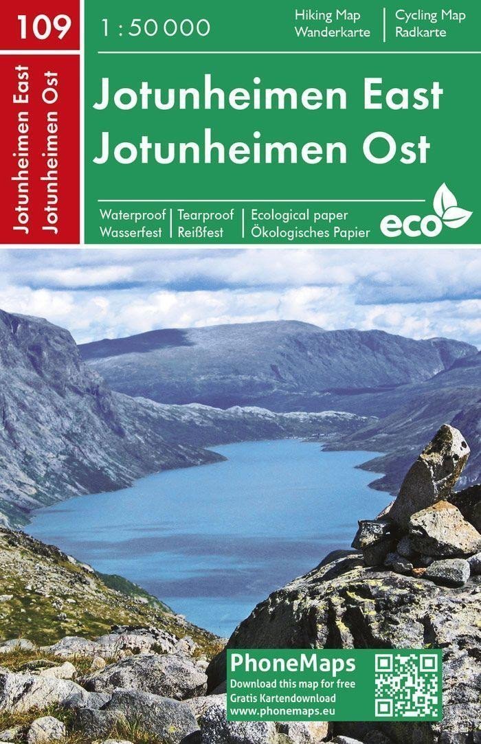
Eine doppelseitige Touristen- und Radkarte im detaillierten Maßstab 1:50.000, die den östlichen und zentralen Teil des norwegischen Nationalparks Jotunheimen inklusive der höchsten Gipfel Glittertind und Galdhopiggen darstellt. Das Gebiet ist wie folgt abgegrenzt: S – Gaupar, O – Gjendesheim, N – Øvre Dalen, W – Hansbue. Die Karte ist auf innovativem, umweltfreundlichem Papier gedruckt, das ressourcenschonend, recycelbar, wasserfest und reißfest ist und sich somit ideal für Ihre Outdoor-Aktivitäten eignet. Die Karte ist mit der gleichnamigen mobilen App PhoneMaps verknüpft, die kostenlos heruntergeladen werden kann. Es umfasst: - ein Straßennetz (Autobahnen, Haupt- und Nebenstraßen, Feld- und Waldwege, Brücken) mit Nummerierung - ein Eisenbahnnetz, Bahnhöfe - markierte Touristen- und Radwege - ein Gewässernetz (Flüsse, Bäche, Seen, Wasserfälle, Quellen) - Siedlungen, ein Siedlungsverzeichnis, Verwaltungseinheiten, Grenzen der Verwaltungseinheiten - regionale Bezeichnungen - geografische Einheiten, Gipfel, Pässe, Felsen - Reliefdarstellung, Höhenlinien alle 20 m, Höhenpunkte - Hotels, Pensionen, Campingplätze, Hütten, Zeltplätze, Wohnwagenparks, Informationszentren, Krankenhäuser, Tankstellen usw. - kulturelle, historische und kirchliche Denkmäler, touristische Attraktionen und Sehenswürdigkeiten, geschützte Gebiete...
Information
Language: Czech
Manufacturer: FREYTAG-BERNDT, spol. s ro
Genres: Karten der nordischen Länder, Bücher, Reisen, Karten und Reiseführer, U-Bahn
Type: Karten und Atlanten
ISBN/EAN: 9788074454271