
Beschreibung
Der Atlas ist Teil einer umfassenden Reihe geographischer Atlanten der Welt, der Kontinente und der Tschechischen Republik.
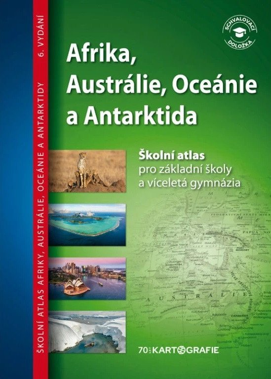
Es präsentiert Afrika, Australien, Ozeanien und die Antarktis aus verschiedenen Perspektiven – Natur und ihr Schutz, Bevölkerung, Wirtschaft und Geschichte.
Die Ausgabe der Schulatlanten im Broschürenformat ist für den Geographieunterricht an Grundschulen und Gymnasien bestimmt. Der Atlas von Afrika, Australien und Ozeanien ergänzt den Schulatlas der Welt, erweitert dessen Themen und präsentiert ausgewählte Phänomene und Merkmale des Kontinents auf detaillierteren Karten.
Afrika, Australien, Ozeanien und die Antarktis sind in allen wichtigen Aspekten (Natur, Bevölkerung, Geschichte, Wirtschaft) auf den Karten dargestellt. Der Atlas enthält Übungsseiten, mit denen die Schülerinnen und Schüler spielerisch und entspannt das Gelernte festigen können, indem sie eine eigene Karte erstellen. Anhand geeigneter Fragen können sie selbstständig wichtige Namen und Konzepte auf der Karte beschreiben, während die Lehrkräfte zusätzliche Fragen entwickeln können.
Eine neue fotografische Beilage „Photo-Walks“ dokumentiert die Umwelt, die Natur und das Leben der Kontinente.
Die Unterstützung des Atlas durch das Ministerium für Bildung, Jugend und Sport wurde bis 2029 verlängert.
Aus dem Inhalt:
eine klare physische und politische Karte von Afrika
eine detaillierte allgemeine geografische Karte…
Information
Language: Czech
Publication date: 30. Juni 2025
Manufacturer: KARTOGRAFIE Praha, as
Genres: Lehrbuch für die Grundschulklassen 1-5, Bücher, Lehrbücher und Sprachen, Lehrbuch für die Sekundarstufe I
Type: Karten und Atlanten
Pages: 20
ISBN/EAN: 9788073935665