Beschreibung
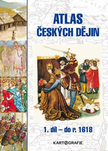
Der erste Teil des zweibändigen Atlas konzentriert sich auf die Anfänge der Besiedlung, die ersten Staatsbildungen, das Mittelalter und die Frühe Neuzeit in unserem Gebiet. Die Karten und Pläne zeichnen die territoriale, kulturelle und wirtschaftliche Entwicklung der Vorgänger des heutigen Staates und seiner Bewohner bis zum Jahr 1618 nach. Ergänzt werden die Karten durch zahlreiche Grafiken, Wappen aus der jeweiligen Epoche, Porträts bedeutender Persönlichkeiten sowie Abbildungen zeitgenössischer Gebäude, Werkzeuge und Wertgegenstände. Jede Phase der historischen Entwicklung des tschechischen Staates wird mit einer kurzen historischen Erläuterung eingeleitet, die den gesamten Zeitraum charakterisiert (Landschaftsbild, Wirtschaft, Kultur, Gesellschaft, historischer Überblick). Abschließend findet sich jeweils eine Seite mit Illustrationen, die den Lebensstil jener Zeit veranschaulichen, sowie eine Zeitleiste mit den wichtigsten Ereignissen in unserem Land, Europa und der Welt. Der Atlas entstand in Zusammenarbeit mit der renommierten Historikerin der tschechischen Geschichte, Professorin Eva Semotanová, und wurde von den bekannten Künstlern Dagmar Ježková und Jiří Petráček illustriert. Aktualisierungen in der 3. Auflage: Der Atlas wurde umfassend überarbeitet und mit den neuesten historischen Erkenntnissen aktualisiert. Er wurde vom Ministerium für Bildung, Jugend und Sport geprüft und seine Genehmigung bis 2029 verlängert. Inhalte: • Tschechische Gebiete in der Vorgeschichte • Das Reich von Samo • Großmähren • Das Herzogtum Přemysliden und…
Information
Author: Semotanová Eva
Publication date: 1. Juli 2023
Manufacturer: KARTOGRAFIE Praha, as
Genres: Lehrbuch für Gymnasien und Turnhallen, Geschichte, Bücher, Lehrbücher und Sprachen
Type: Karten und Atlanten
Pages: 88
ISBN/EAN: 9788073935610

