Beschreibung
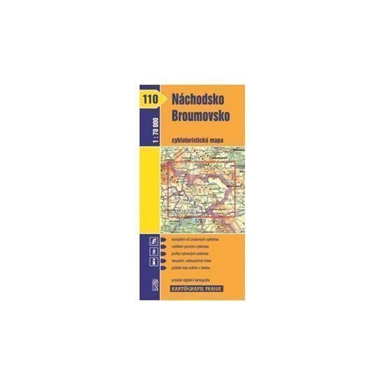
Karte Nr. 110 – Náchod und Broumov aus der Radkartenausgabe zeigt das Gebiet um Trutnov, Broumov, Police n. M., Hronov, Červený Kostelec, Náchod und einen Teil entlang der polnischen Grenze im Maßstab 1:70.000. Diese übersichtliche Radkarte im Maßstab 1:70.000 zeigt alle markierten Radwege, die verschiedenen Oberflächenarten der Radwege, Profile ausgewählter Radtouren, Kilometerangaben, Geschäfte, Werkstätten und Fahrradverleihe, Gefahrenstellen, ein WGS-1984-Netz sowie Einrichtungen für Radfahrer.
Information
Manufacturer: KARTOGRAFIE Praha, as
Genres: Sachliteratur, Karten und Reiseführer, Radkarten, Karten der Tschechischen Republik, Bücher, Reisen, U-Bahn
Type: Karten und Atlanten
ISBN/EAN: 9788073931285

