
Beschreibung
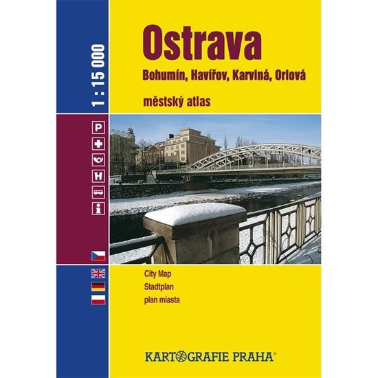
Der Stadtatlas der Agglomeration Ostrava ist in Tschechien hinsichtlich seines Umfangs einzigartig. 76 Kartenblätter im Maßstab 1:15.000 decken das Gebiet von Ostrava, Bohumín, Karviná, Havířov, Orlová und weiteren kleineren Gemeinden der Region Ostrava ab. Er enthält außerdem einen Stadtplan von Ostrava im Maßstab 1:10.000, einen Plan für den Autoverkehr, einen übersichtlichen Plan des öffentlichen Nahverkehrs, eine Straßenkarte von Ostrava und Umgebung mit touristischen und Radverkehrsinformationen im Maßstab 1:100.000 sowie viele weitere nützliche Informationen. Ein Register ist selbstverständlich ebenfalls enthalten.
Information
Language: Czech
Publication date: 1. Januar 2008
Manufacturer: KARTOGRAFIE Praha, as
Type: Karten und Atlanten
Pages: 128
ISBN/EAN: 9788070119617