
Beschreibung
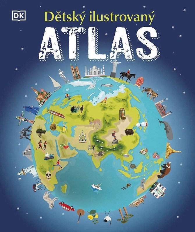
Begeben Sie sich auf eine abenteuerliche Weltreise mit diesem Atlas voller farbenfroher Bilder und Illustrationen von Ländern und Kontinenten, Menschen und Orten sowie Wüsten und Regenwäldern. Ob Sie sich für die eisige Antarktis, die üppig grünen brasilianischen Regenwälder oder die heißen, trockenen afrikanischen Wüsten interessieren – eines ist sicher: Die ganze Welt liegt Ihnen jetzt zu Füßen! In diesem Buch entdecken Sie über 50 atemberaubende Karten mit interessanten Fakten und Bildern, die Ihnen Details über Landschaft, Fauna, Kultur, Geschichte und Sehenswürdigkeiten offenbaren und Sie mit Klima, Bevölkerung und Natur unseres Planeten vertraut machen. Die Karten werden durch illustrierte Geschichten ergänzt, die beispielsweise den Amazonas im Regenwald oder die Gletscher der eisigen Arktis zeigen. Alle Karten enthalten wichtige Städte, bedeutende Sehenswürdigkeiten, die längsten Flüsse und die höchsten Berge. Junge Entdecker lernen mit diesem Atlas außerdem, Karten zu lesen und Legenden, Kompasse und Maßstäbe zu verwenden. Der illustrierte Kinderatlas ist ein Buch, mit dem Kinder nicht nur andere europäische Länder, sondern auch ferne Länder erkunden können, die durch einen ganzen Ozean von uns getrennt sind.
Information
Language: Czech
Publication date: 10. April 2025
Manufacturer: DOBROVSKÝ sro
Genres: Kinderenzyklopädie, Bücher, Kinderliteratur, Populärwissenschaftliche Literatur für Kinder
Type: Gebundene Bücher
Pages: 128
ISBN/EAN: 9788027744442