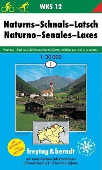

Beschreibung
Die detaillierte Karte im Maßstab 1:30.000 (1 cm = 300 Meter) zeigt neben den grundlegenden Informationen (alle Ortschaften und ihre Teile, Eisenbahnlinien, Straßen, Hauptrouten, Höhenlinien, Höhenpunkte usw.) auch das gesamte Netz markierter Wanderwege sowie detaillierte touristische Informationen: Burgen, Schlösser, Ruinen, Aussichtstürme, Seilbahnen und vieles mehr. Die beiliegende Broschüre enthält Beschreibungen interessanter Orte und Vorschläge für die schönsten Wanderungen. Karte und Broschüre befinden sich in einer praktischen Kunststoffhülle.
Information
Language: Czech
Manufacturer: FREYTAG-BERNDT, spol. s ro
Genres: Sachliteratur, Karten und Reiseführer, Bücher, Reisen
Type: Karten und Atlanten
ISBN/EAN: 9783850847988