Beschreibung
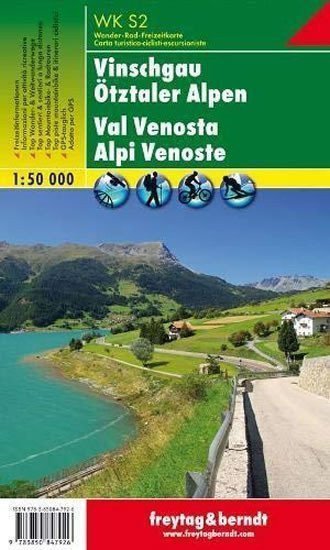
Thanks to detailed digital cartography and accurate scales, freytag & berndt tourist maps are ideal companions for hiking, climbing, and skiing tours. They are regularly revised and contain updated information on hiking trails, cycling and mountain routes, huts, natural monuments, cultural sites, and leisure facilities. The attached information brochure includes a selection of the best long-distance and hiking trails, cycling paths, and a brief description of the region and its leisure activities. (Languages: German, Italian) Leisure information, tourist and long-distance hiking trails, mountain biking and cycling tours, postal code location registry, GPS compatible, ski routes, cross-country skiing trails; Region: Vinschgau, Ötztal Alps, Adige Valley, Tyrol, South Tyrol, Austria, Italy; Val Vensosta, Alpi Venoste, Trentino Alto Adige, Austria, Italy; Special thematic hiking trails: Central Alpine Trail, Via Alpina, Ötztal Trek, archaeological hiking trails, Ortler; Special cycling and mountain biking tours: Adige Cycle Path, Via Claudia Augusta Cycle Path; Environmental maps: WK S1, WK S511, WK 251, WK 254.
Information
Publication date: 1. Januar 2015
Manufacturer: FREYTAG-BERNDT, spol. s r.o.
Type: Maps & atlases
Pages: 2
ISBN/EAN: 9783850847926

