
Beschreibung
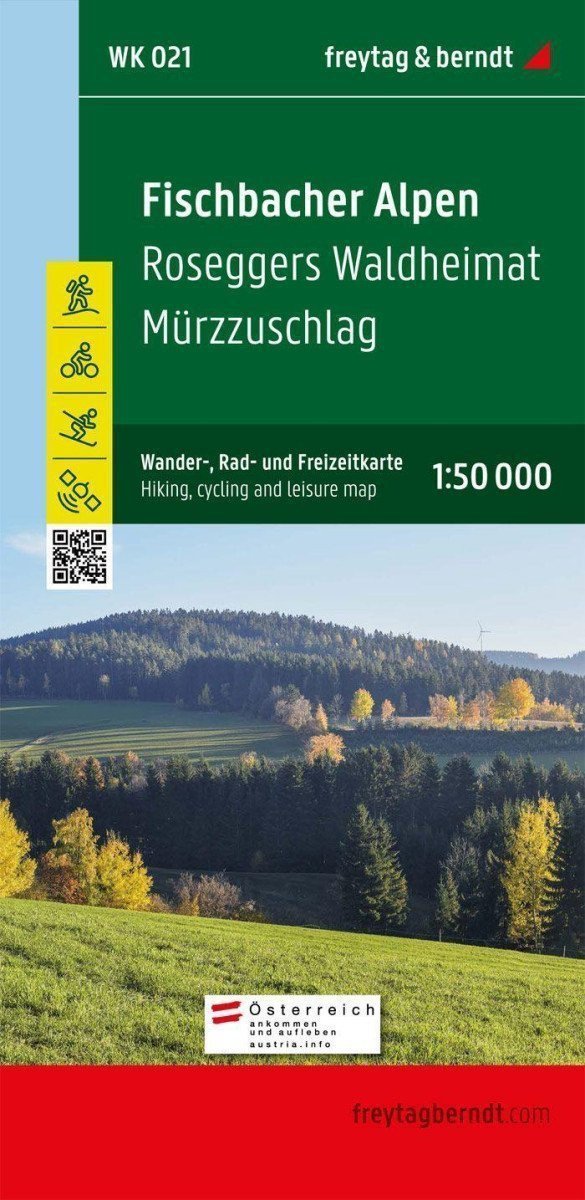
Die Wanderkarte der Fischbacher Alpen von freytag & berndt deckt fast das gesamte Gebirge im idealen Maßstab 1:50.000 ab. Die dicht bewaldeten Berge und grasbewachsenen Hügel der Fischbacher Alpen erstrecken sich zwischen dem Mürztal und dem hügeligen Joglland und eignen sich daher ideal für ausgedehnte Wanderungen ohne große alpine Anforderungen. ***** Die Region bietet auch beste Bedingungen für Radfahrer und Mountainbiker: ob auf den Trails zwischen Alpl und Stuhleck, der abwechslungsreichen Wanderung „Der Große Jogl“ oder den „Wexltrails“ im angrenzenden Wechselgebiet. ***** Für Wintersportbegeisterte haben kleinere Skigebiete wie Hirschenkogel, Stuhleck oder Hauereck ebenfalls viel zu bieten. Das bekannte Gebiet um „Roseggers Waldheimat“ ist nach dem berühmten Dichter Peter Rosegger benannt, der seine Heimat um die Jahrhundertwende in der Literatur verewigte. ***** Informationen zur Wanderkarte der Fischbacher Alpen ***** Wander- und Fernwanderwege, Klettersteige, Radwege, Mountainbike-Strecken, Langlaufloipen, Skirouten, attraktives Ausflugsziel, Maßstab 1:50.000, Maße 90 x 61 cm, mit Broschüre ***** Anhang Die beiliegende Informationsbroschüre enthält neben einem Überblick über die Region auch touristische Informationen und Tipps für den Höhenkurort Fischbach. Beschreibungen verschiedener Fernwanderwege...
Information
Language: German, English, French
Publication date: 1. Januar 2021
Manufacturer: FREYTAG-BERNDT, spol. s ro
Genres: Karten und Reiseführer, Alpenkarten, Bücher, Reisen, Nach Region
Type: Karten und Atlanten
Pages: 55
ISBN/EAN: 9783850847025