Beschreibung
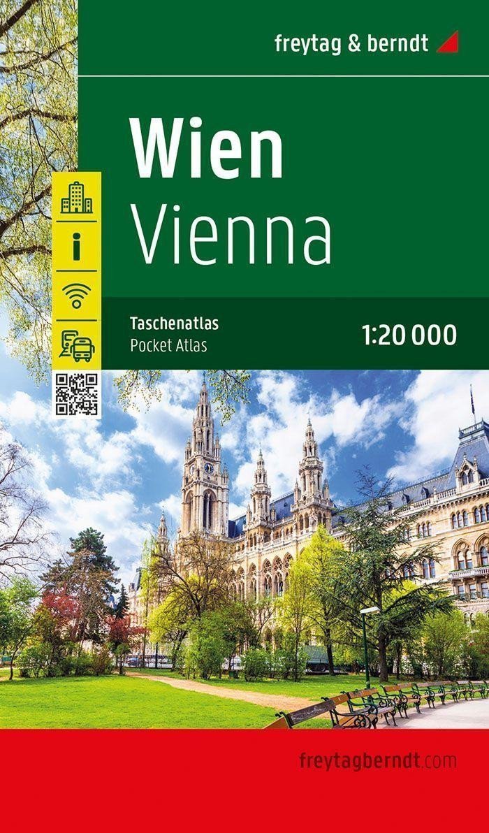
Mit dem praktischen Taschenatlas Wien 1:20.000 finden Sie sich in der Hauptstadt des Bundeslandes Wien mühelos zurecht. Das umfangreiche Straßenverzeichnis enthält die Namen aller Straßen, Gassen, Wege und Plätze sowie die dazugehörigen Postleitzahlen.
Eine separate Karte der Innenstadt zeigt das Zentrum im Maßstab 1:15.000.
Details im Wiener Stadtatlas
Einbahnstraßen
Transitplan
Öffentliche Verkehrsmittel
schnelle Verbindungen
Straßenliste
Kostenloses WLAN
Format: 16 x 9,4 cm
Eine separate Karte der Innenstadt zeigt das Zentrum im Maßstab 1:15.000.
Details im Wiener Stadtatlas
Einbahnstraßen
Transitplan
Öffentliche Verkehrsmittel
schnelle Verbindungen
Straßenliste
Kostenloses WLAN
Format: 16 x 9,4 cm
Information
Publication date: 1. Februar 2025
Manufacturer: FREYTAG-BERNDT, spol. s ro
Genres: Karten und Reiseführer, Bücher, Reisen, Karten Wien, Nach Stadt, Städte Europas
Type: Karten und Atlanten
ISBN/EAN: 9783707924381

