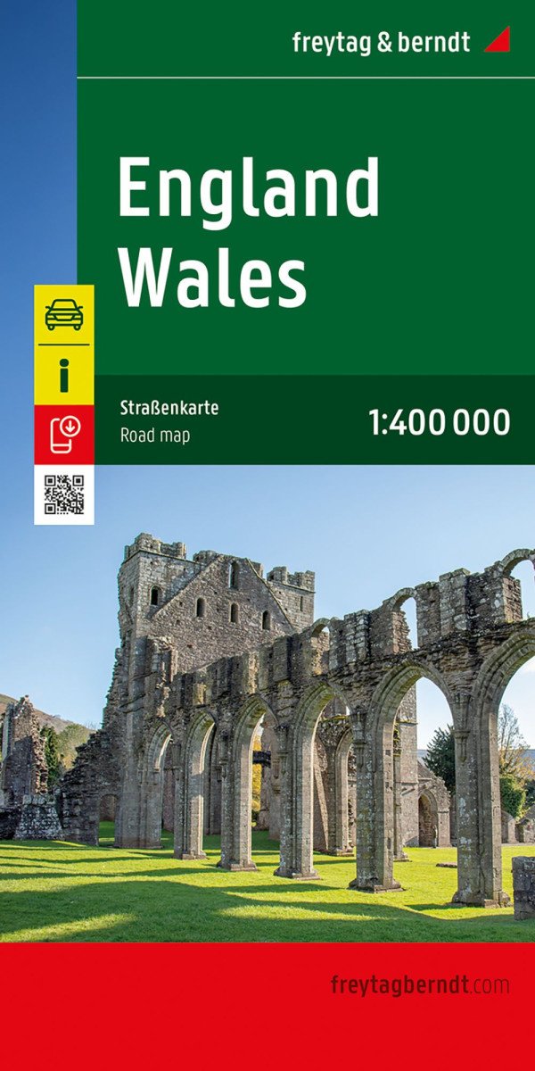
Beschreibung
Die Straßenkarte von England und Wales im Maßstab 1:400.000 bietet zahlreiche nützliche Informationen für Reisen nach Großbritannien. Das dichte Straßennetz in England und Wales ist präzise dargestellt, malerische Straßen sind farblich hervorgehoben und viele touristische Ziele sind direkt auf der Karte markiert.
Fahrer von Autos und Motorrädern werden die präzise Kartografie von Freytag & Berndt zur Planung und Navigation im Gelände besonders zu schätzen wissen.
Wohnwagenfahrer und Camper finden selbstverständlich alle Campingplätze auf der Karte.
Informationen zur Straßenkarte von England und Wales
Maßstab 1:400.000
Touristeninformation
Campingplätze
Registrierungsort
Stadtplan: London
Doppelseitig
Format: 137 x 93 cm
Mit dieser Karte erreichen Sie ganz einfach einige der schönsten Reiseziele in England und Wales. Besuchen Sie das malerische Küstendorf Tenby in Wales, das berühmte Stonehenge in Südengland, das historische Bath oder die atemberaubenden Cotswolds. Mit unserer Karte finden Sie immer den schnellsten und bequemsten Weg zu diesen fantastischen Orten.
Gedruckt in Österreich.
Information
Publication date: 1. Juli 2025
Manufacturer: FREYTAG-BERNDT, spol. s ro
Genres: Karten und Reiseführer, Bücher, Reisen
Type: Karten und Atlanten
ISBN/EAN: 9783707924077

