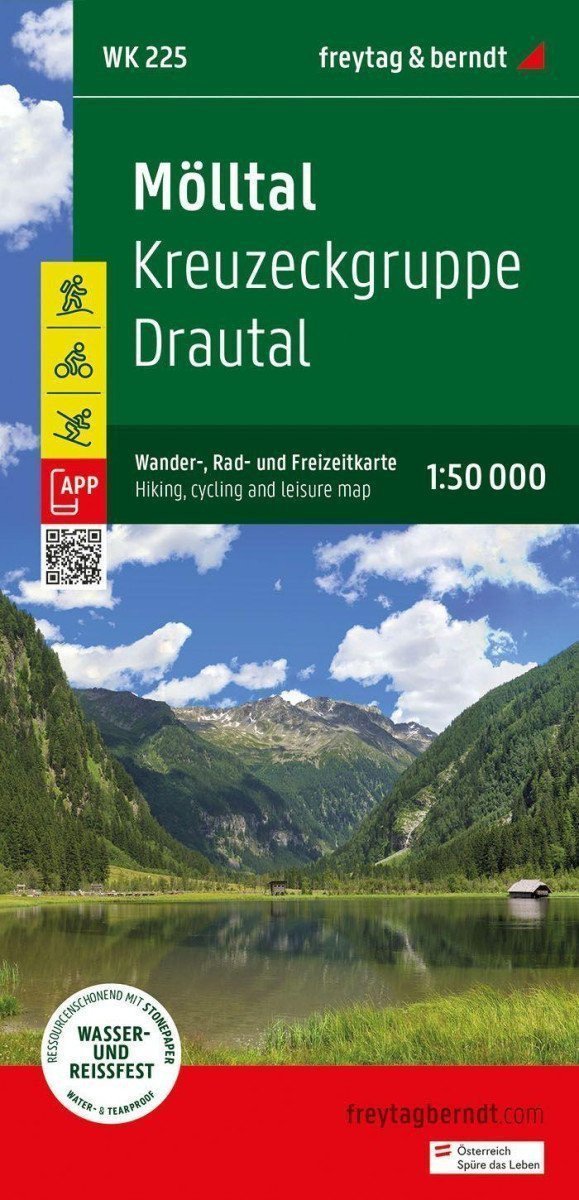

Beschreibung
Dank detaillierter digitaler Kartografie und präziser Maßstäbe sind die Wanderkarten von freytag & berndt ideale Begleiter für Wander-, Kletter- und Skitouren. Sie werden regelmäßig aktualisiert und enthalten stets aktuelle Informationen zu Wanderwegen, Rad- und Mountainbike-Routen, Hütten, Naturdenkmälern, kulturellen Sehenswürdigkeiten und Freizeiteinrichtungen. Die beiliegende Informationsbroschüre bietet eine Auswahl der schönsten Wander-, Rad- und Mountainbike-Routen sowie eine Kurzbeschreibung der einzelnen Gemeinden und ihrer Freizeitangebote. (Sprache: Deutsch) Freizeitinformationen, Wander- und Fernwanderwege, Mountainbike- und Radtouren, Standortregistrierung mit Postleitzahlen, GPS-kompatibel, Klettersteige, Loipen, Langlaufloipen, Nordic-Walking-Strecken; Gebiet: Osttirol, Oberkärnten, Oberdrautal, Mölltal; Themenwanderwege: Rupertiweg, Jakobsweg, Arnoweg, Salzburger Almenweg, Alpe-Adria-Trail, Hoher Sonnblick, Kreuzeck, Hochstadel, Ankogel; Spezielle Rad- und Bergtouren: Drau-Radweg, Glockner-Radweg, Zirknitztal, Nigglaital Runde; Umweltkarten: WK 120, WK 181, WK 182, WK 191, WK 202, WK 221, WK 223.
Information
Publication date: 1. Juli 2024
Manufacturer: FREYTAG-BERNDT, spol. s ro
Genres: Karten und Reiseführer, Bücher, Reisen
Type: Karten und Atlanten
ISBN/EAN: 9783707923452