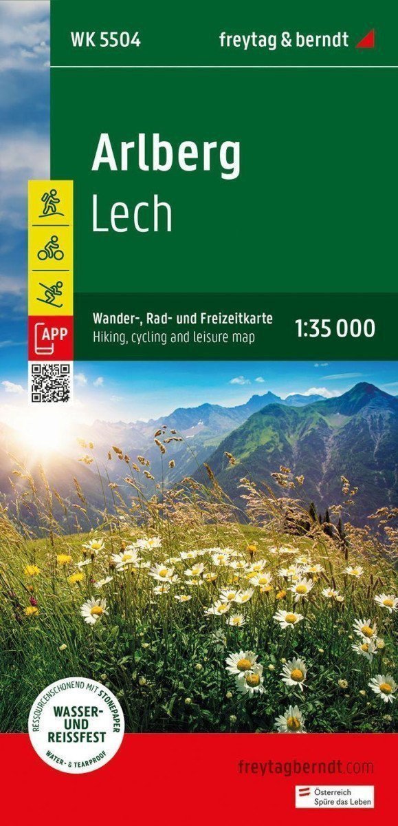

Beschreibung
Die Touristen-, Rad- und Freizeitkarte Arlberg bietet detaillierte Informationen zu Wander- und Radwegen in den Regionen Arlberg, Lech, Verwallgruppe, Klostertal und Stanzer Tal. Mit dieser Karte können Sie Ihre Wanderungen optimal planen und Sehenswürdigkeiten entlang der Route entdecken. Informationen zur Touristen- und Radkarte Arlberg 1:35.000: Wander- und Fernwanderwege, Mountainbike- und Radwege, Skirouten, Langlaufloipen. Rother App: Wasserfest und reißfest. Die kostenlose Version der Rother App Connected bietet eine digitale Karte mit kompletten Wanderrouten sowie Beispielwanderungen in der Region (kostenlose Registrierung erforderlich). Wasserfest und reißfest: Damit die Touristenkarte Arlberg auch an Regentagen zur Orientierung genutzt werden kann, ist sie auf speziellem wasserfestem und reißfestem Papier gedruckt. Ressourcenschonend hergestellt: Die Karte besteht zu 80 % aus gemahlenem Kalkstein. Die Produktion ist deutlich ressourcenschonender als bei herkömmlichem Papier, da der Verbrauch von Wasser, Holz und Energie wesentlich geringer ist. Gedruckt in Österreich.
Information
Publication date: 1. Mai 2024
Manufacturer: FREYTAG-BERNDT, spol. s ro
Genres: Karten und Reiseführer, Bücher, Reisen
Type: Karten und Atlanten
Pages: 10
ISBN/EAN: 9783707923407