
Beschreibung
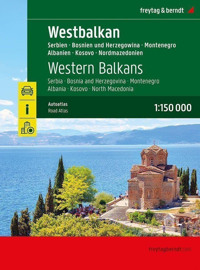
Der Autoatlas Westbalkan 1:150.000 ist der ideale Begleiter für alle, die mit dem Auto unterwegs sind und nicht nur auf den Hauptstraßen und Autobahnen bleiben möchten. Er eignet sich perfekt zur Planung und ist auch während der Reise ein unverzichtbarer Ratgeber. Dank detaillierter Karten und präzisem Maßstab entdecken Sie weniger befahrene Nebenstraßen, die auf Übersichtskarten oft nicht verzeichnet sind. Besonders schöne Panoramastraßen sind farbig hervorgehoben. Detaillierte Karten und Zusatzinformationen: Albanien – Bosnien und Herzegowina – Kosovo – Montenegro – Nordmazedonien – Serbien 1:150.000, Planungskarte des Balkans 1:1.000.000 und Europas 1:3.500.000, Spiralbindung, Campingplätze und Spielplätze, touristische Informationen, acht Stadtpläne, darunter Sarajevo, Tirana und Belgrad, Ortsverzeichnis mit Postleitzahlen, 320 Seiten, Format 23 x 29,7 cm. Der ideale Autoatlas für den Westbalkan. Das dichte Straßennetz ist präzise dargestellt, malerische Abschnitte und Wanderwege sind farblich hervorgehoben, und zahlreiche Ausflugsziele sind auf der Karte verzeichnet. Autofahrer und Motorradfahrer schätzen die genaue Kartografie von freytag & berndt besonders für die Planung und Orientierung vor Ort. Damit die Reiseplanung auch mit Wohnmobil, Wohnwagen oder Camper problemlos gelingt, …
Information
Publication date: 1. Januar 2025
Manufacturer: FREYTAG-BERNDT, spol. s ro
Genres: Karten und Reiseführer, Bücher, Reisen
Type: Karten und Atlanten
Pages: 320
ISBN/EAN: 9783707922899