Beschreibung
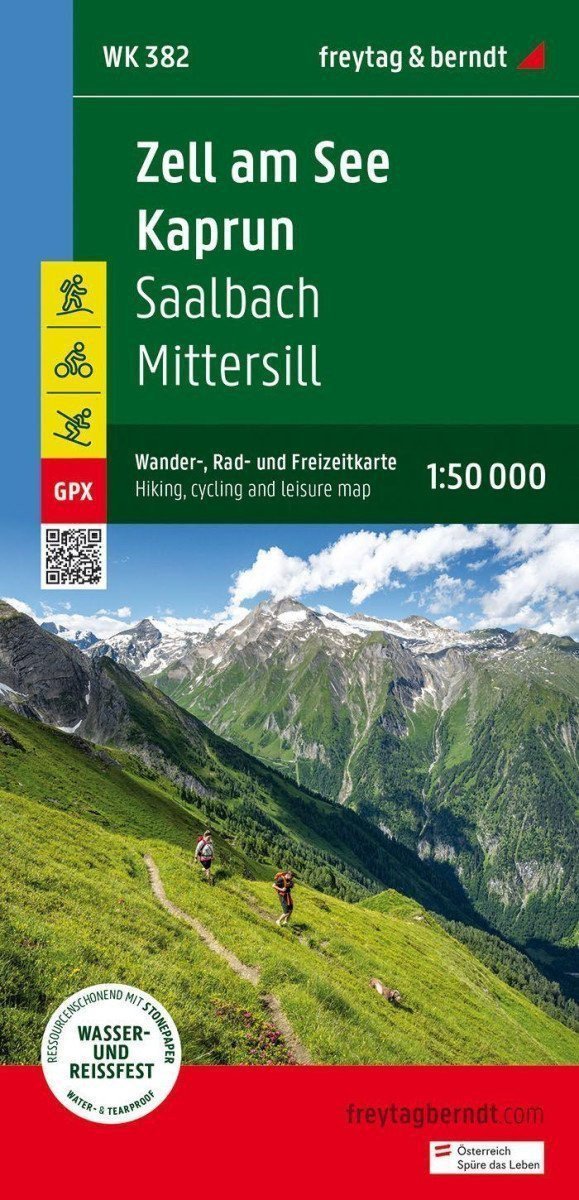
Freytag & Berndt tourist maps are ideal companions for hiking, climbing, and skiing trips due to their detailed digital cartography and precise standards. They are regularly revised and contain updated information on hiking trails, cycling routes, mountain biking paths, huts, natural monuments, cultural sites, and recreational facilities. The accompanying information brochure offers a selection of the best hiking trails, cycling paths, and mountain biking routes, as well as a brief description of individual communities with their leisure activities. (Language: German) Information on leisure activities, hiking and long-distance trails, mountain biking and cycling trips, local registry with postal codes, GPS applicability, via ferrata, referees, routes through the landscape, Nordic walking trails; Region: Hohe Tauern, Pinzgau, Salzburg; Special hiking themes: Central Alpine Way, Arnoweg, Königsweg, Bach Apprenticeship in front of Hollersbach, Austrian Way to Mooserboden, hike to Walcher Wasserfall, Kasereck-Kreuzköpflkfeltour, Summit Tors, Kohlmais Round Tour; Special cycling tours: Tauernradweg, Watzmann-Hochkönig Round, Panoramastraße Stubachtal, Fuschertörl,…
Information
Publication date: 30. Mai 2023
Manufacturer: FREYTAG-BERNDT, spol. s r.o.
Genres: Maps and guides, Books, Travel
Type: Maps & atlases
ISBN/EAN: 9783707922110

