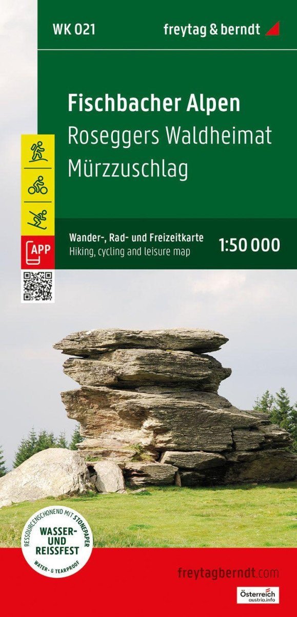

Beschreibung
Die Freytag & Berndt-Touristenkarte der Fischbacher Alpen deckt nahezu das gesamte Gebirge im idealen Maßstab 1:50.000 ab. Mit der Wander- und Radkarte können Sie Ihre Wanderungen optimal planen und sich über die Sehenswürdigkeiten und Aussichtspunkte entlang der Strecke informieren.
Für Wintersportbegeisterte bietet die Karte Skipisten, Langlaufloipen sowie alle Lifte und Skilifte.
Informationen zur Fischbacher Alpen-Touristenkarte: Wanderwege und Fernwanderwege, Klettersteige, Radwege, Mountainbike-Strecken, Langlaufloipen, Skirouten, attraktive Ausflugsziele, Maßstab 1:50.000, Größe 90 x 61 cm.
Rother App
Die kostenlose Version der Rother App bietet eine digitale Karte mit einem kompletten Netz von Wander- und Radwegen sowie mehreren Beispielwanderungen in der Region (kostenlose Registrierung erforderlich).
Die beste Wanderkarte für die Fischbacher Alpen
Die bewaldeten Berge und Alpengipfel der Fischbacher Alpen erstrecken sich zwischen Mürztal und dem hügeligen Joglland und eignen sich daher ideal für lange Wanderungen ohne besondere alpine Anforderungen.
Die Region bietet auch beste Bedingungen für Radfahrer und Mountainbiker: ob die Trails zwischen Alpl und Stuhleck, die abwechslungsreiche Wanderung „Der große Jogl“ oder die „Wexltrails“ im benachbarten Gebiet...
Information
Publication date: 1. Februar 2025
Manufacturer: FREYTAG-BERNDT, spol. s ro
Genres: Karten und Reiseführer, Bücher, Reisen
Type: Karten und Atlanten
ISBN/EAN: 9783707920741