
Beschreibung
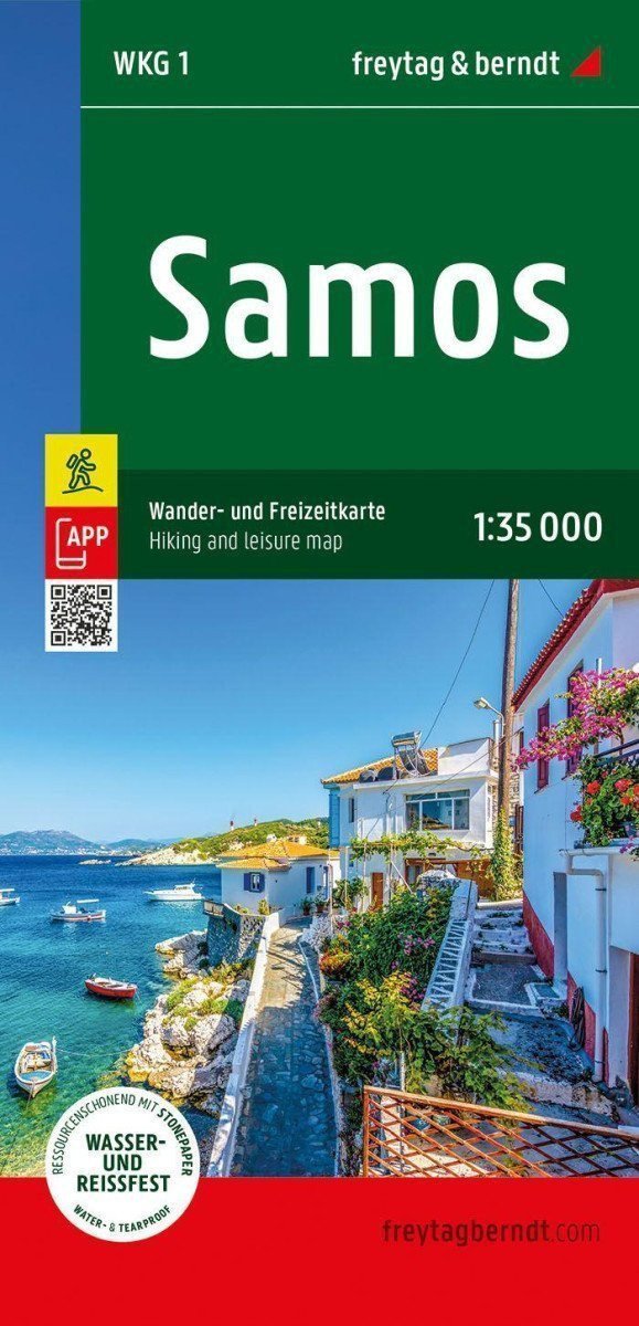
Die Touristen- und Freizeitkarte von Samos bietet detaillierte Informationen zu den Wanderwegen der Insel. Sie können die Karte nutzen, um Wanderungen zu planen und Sehenswürdigkeiten entlang des Weges zu entdecken. Samos bietet Touristen eine faszinierende und abwechslungsreiche Kulisse. Hohe Berge wie der Kerkis, tiefe Schluchten wie die Kakoperato-Schlucht und abgelegene Wälder laden zum Erkunden ein. Dieses mediterrane Wanderparadies bezaubert mit malerischen Dörfern, versteckten Klöstern, alten Stadtmauern und mittelalterlichen Festungsbauten. Informationen zur Touristen- und Freizeitkarte von Samos: Maßstab 1:35.000, Wanderwege, Touristeninformationen aus der Rother-App, wasserfest und reißfest, Abmessungen 99 x 61 cm. Rother-App: Die kostenlose Version der Rother-App bietet eine digitale Karte mit dem kompletten Wanderwegenetz von Samos sowie einigen Beispielwanderungen (kostenlose Registrierung erforderlich). Wasserfest und reißfest: Damit die Touristenkarte von Samos auch bei widrigen Wetterbedingungen zur Navigation genutzt werden kann, ist sie auf speziellem wasserfestem und reißfestem Papier gedruckt. Ressourcenschonend hergestellt: Die Karte besteht zu 80 % aus gemahlenem Kalkstein. Die Produktion ist wesentlich ressourcenschonender als bei herkömmlichem Papier, da der Verbrauch von Wasser, Holz und Energie deutlich geringer ist.
Information
Language: German
Publication date: 1. Juli 2024
Manufacturer: FREYTAG-BERNDT, spol. s ro
Genres: Karten und Reiseführer, Bücher, Reisen
Type: Karten und Atlanten
ISBN/EAN: 9783707920673