
Beschreibung
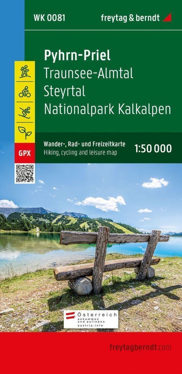
Die Touristen-, Rad- und Freizeitkarte von Pyhrn-Priel im Maßstab 1:50.000 sollte bei Ausflügen, Wanderungen und Radtouren in einer der bekanntesten Urlaubsregionen Oberösterreichs unbedingt dabei sein! ***** Besonders der Nationalpark Kalkalpen begeistert mit seinen geschlossenen Waldgebieten und seiner beeindruckenden Artenvielfalt. ***** Die Touristenkarte zeigt außerdem das Steyrtal, das sich bequem über den Steyrtal-Radweg erkunden lässt, sowie die weiter westlich gelegene Tourismusregion Traunsee-Almtal, die auch als östliches Tor zum Salzkammergut gilt. ***** Informationen zur Touristenkarte Pyhrn-Priel ***** Wander- und Fernwanderwege, Klettersteige, Maßstab 1:50.000, wasserfest und reißfest, Rad- und Mountainbikewege, attraktive Ausflugsziele, 70 x 82 cm, beidseitig bedruckt, GPX-Tracks zum Download, mit Informationsführer ***** Zahlreiche bestehende regionale Wanderwege werden durch verschiedene Fernwander- und Pilgerwege ergänzt, darunter der Nordalpenweg, der Mariazeller Weg, der Salzsteig und die Via Alpina. ***** Der Almuferweg zwischen Almspitz und Almsee eignet sich besonders für Genusswanderer, während die anspruchsvolle Salzkammergut-BergeSeen-Route mit 20…
Information
Language: German
Publication date: 1. Januar 2021
Manufacturer: FREYTAG-BERNDT, spol. s ro
Genres: Karten und Reiseführer, Sachliteratur, Bücher, Reisen
Type: Karten und Atlanten
ISBN/EAN: 9783707919387