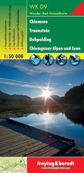

Beschreibung
Die Wanderkarten von freytag & berndt sind dank ihrer detaillierten digitalen Kartografie und präzisen Maßstäbe die idealen Begleiter für Wanderungen, Bergtouren und Skitouren. Sie werden regelmäßig aktualisiert und enthalten aktuelle Informationen zu Wanderwegen, Rad- und Mountainbike-Strecken, Hütten, Naturdenkmälern, kulturellen Sehenswürdigkeiten und Freizeiteinrichtungen. Die beiliegende Informationsbroschüre bietet eine Auswahl der besten Wander-, Rad- und Mountainbike-Strecken sowie eine Kurzbeschreibung jeder Gemeinde mit ihren Freizeitangeboten. (Sprache: Deutsch) Freizeitinformationen, Wander- und Fernwanderwege, Mountainbike- und Radtouren, Ortsverzeichnis mit Postleitzahlen, GPS-kompatibel, Kletterrouten, Skirouten, Langlaufloipen; Region: Chiemsee, Chiemgau, Chiemgauer Alpen, Chiemgauer Seen, Oberbayern, Bayern, Deutschland; Besondere Wanderthemen: Nordalpenweg, Via Alpina, Jakobsweg, Schmugglerpfad, Adlerpfad, Hochfelln, Hochplatte, Hochstaufen; Spezielle Rad- und Mountainbike-Touren: Mozartweg, Via-Julia-Radweg, Benedict-Radweg, Chiemsee-Waginger-See-Radroute, Chiemgau-Radweg, Traun-Alz-Radweg, Salzachtal-Radweg, Salinen-Radweg, Bajuwaren-Radweg,…
Information
Language: Czech
Manufacturer: FREYTAG-BERNDT, spol. s ro
Genres: Sachliteratur, Karten und Reiseführer, Bücher, Reisen
Type: Karten und Atlanten
ISBN/EAN: 9783707906110