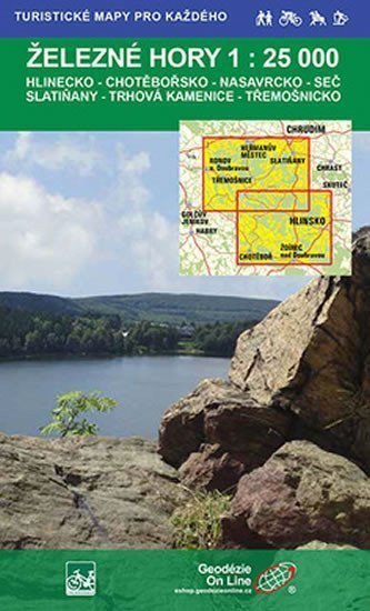

Description
Iron Mountains Hlinecko, Chotěbořsko, Nasavrcko, Seč, Slatiňany, Trhová Kamenice, Třemošnicko: cycling and hiking map. Maps 1:25,000 from Geodezie On-Line. The detailed map displays basic topographic and elevation information such as roads, paved and unpaved paths, railways, settlements and their parts including hamlets and solitary houses, water bodies and streams, other areas (e.g. forests, gardens and orchards, vineyards, hop fields), elevation points, contour lines every 10 m, ... The map also includes banded and local tourist markings, tourist signposts, mileage; cycling routes; educational trails; tourist skiing routes, downhill tracks, cable cars and lifts; horseback riding trails, and of course shows attractive places for tourists - castles and chateaus, lookout towers and viewpoints, ruins and other monuments, museums and galleries, swimming pools, selected restaurants and accommodation facilities,...
Information
Language: Czech
Manufacturer: Geodézie On Line
Genres: Maps of the czech republic, Tourist maps, Books, Travel, Maps and guides, Underground
Type: Maps & atlases
Pages: 2
ISBN/EAN: 9788087380130