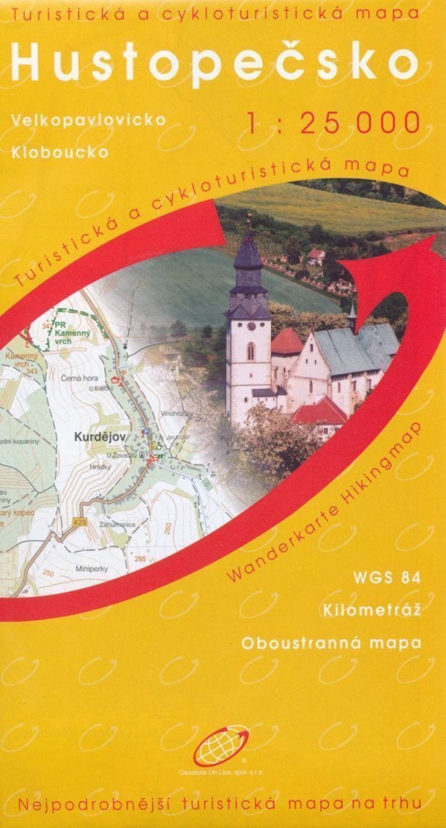

Description
A double-sided, exceptionally detailed map at a scale of 1:25,000 (1 cm = 250 m) approaches the readability and scale of an urban plan. Coverage: the map displays the area from the Ždánický Forest in the north to Bulhary and Podivín in the south, including the eastern part of the Nové Mlýny reservoir, from the mouth of the Svratka River to the dam. The map shows basic topographic and elevation information such as roads, paved and unpaved paths, railways, settlements and their parts including hamlets and solitary farms, water bodies and streams, forests, vineyards, orchards, gardens, elevation points, and contour lines every 10 m. For tourists, it includes trail and local tourist markings, tourist signposts, distances, cycling routes, educational trails, and of course, it also displays vineyards, wineries, and wine cellars. Additionally, castles and chateaus, observation towers and viewpoints, ruins and other monuments, museums and galleries, swimming pools, selected restaurants, and accommodation facilities are marked. The map has a WGS coordinate grid for GPS, and the legend is in Czech and English. The map is in a protective, waterproof plastic cover. Slovácko, Velké Pavlovice, Kobylí, Vrbice, Bořetice, Němčičky, Nové Mlýny, Hustopeče, Kobouky, Ždánický, Velké Pavlovice.
Information
Language: Czech
Manufacturer: KARTOGRAFIE Praha, a. s.
Genres: Cycling maps, Non-fiction literature, Books, Travel, Maps and guides
Type: Maps & atlases
ISBN/EAN: 9788086782614