
Description
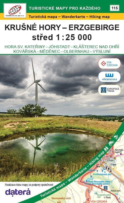
Double-sided tourist and cycling map 1:25,000, coordinate grid WGS 84. Summer and winter tourist extension (the maps also indicate the VIA CZECHIA route for hikers, cyclists, and skiers, the Ridge Trail, and European Route 3).
Detailed map at a scale of 1:25,000, 1 cm on the map = 250 m in reality.
Note: the previously published map of the Ore Mountains - East 1:25,000, edition number 91, is of a different extent.
Detailed map at a scale of 1:25,000, 1 cm on the map = 250 m in reality.
Note: the previously published map of the Ore Mountains - East 1:25,000, edition number 91, is of a different extent.
Information
Language: Czech, German, English
Publication date: May 1, 2025
Manufacturer: Geodézie On Line
Genres: Maps and guides, Books, Travel, Maps of the czech republic, Underground
Type: Maps & atlases
ISBN/EAN: 9788075061775